Aug 18 and 19 Ulverston+Coniston

Actually, some of these photos belong to yesterday’s circular tour of Ulverston, but weak internet and weird photo-loading issues made putting things together  correctly very annoying, so just take a 24 hour journey back in time, and, oh, never mind, does it really matter?
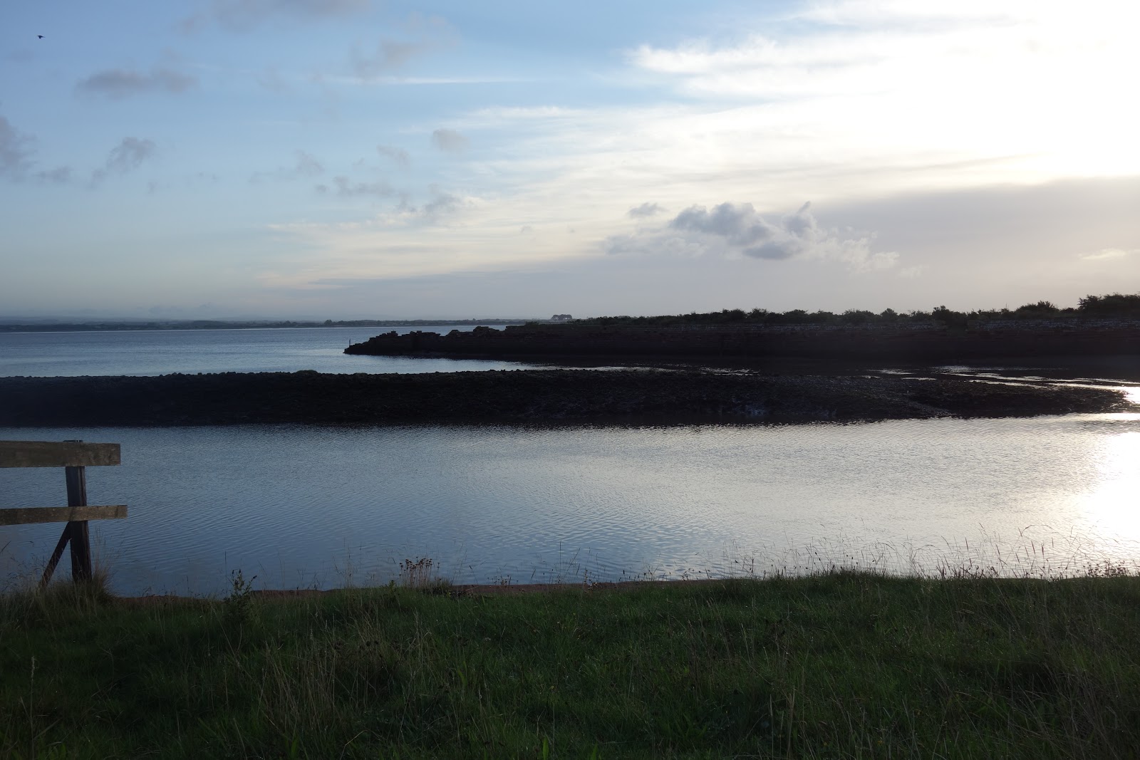
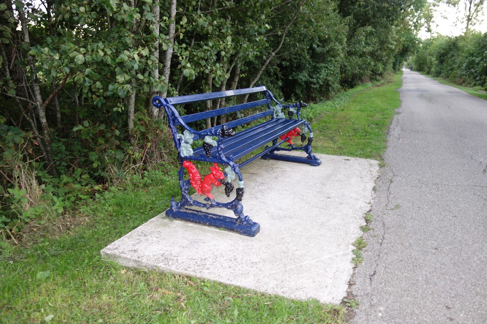
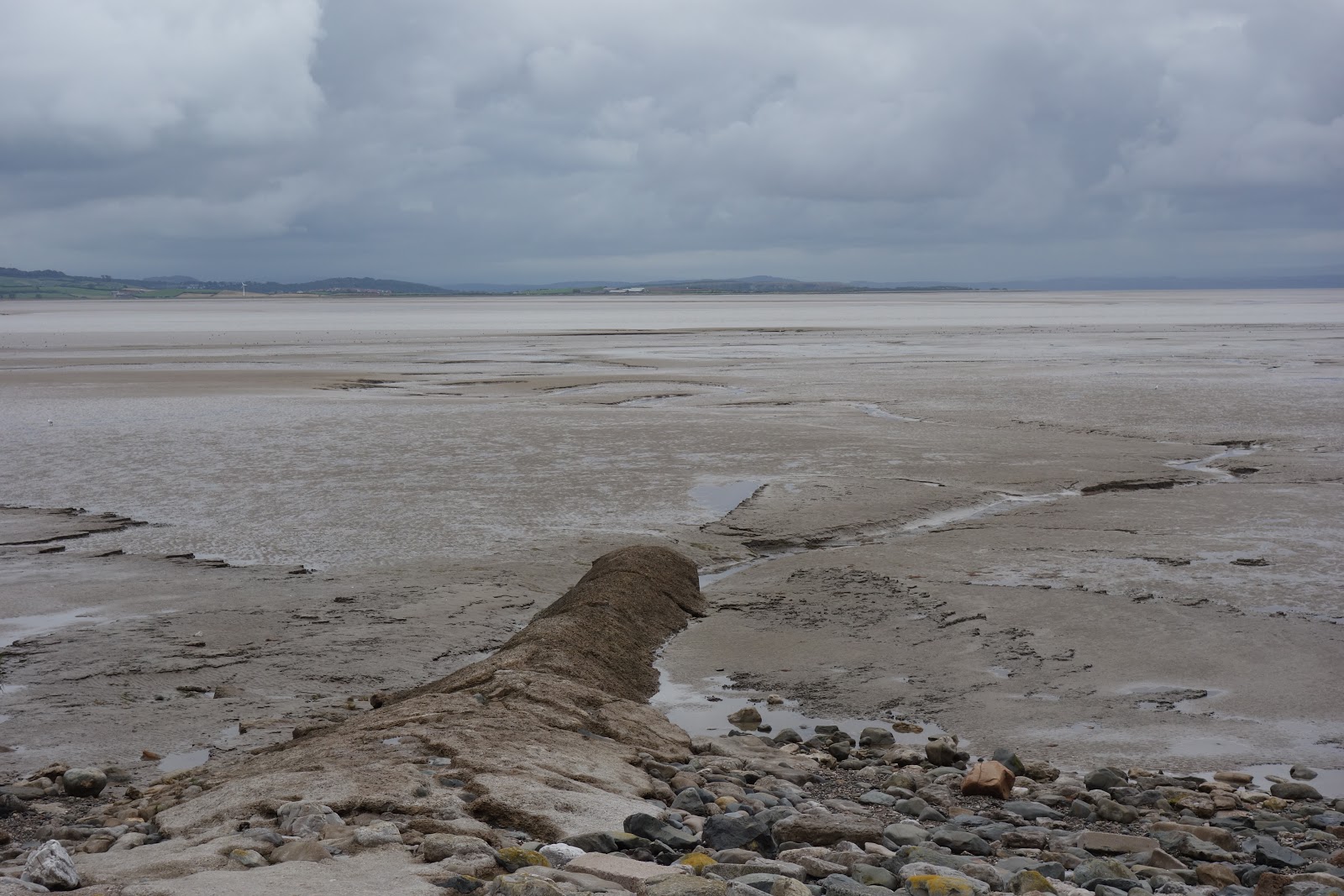
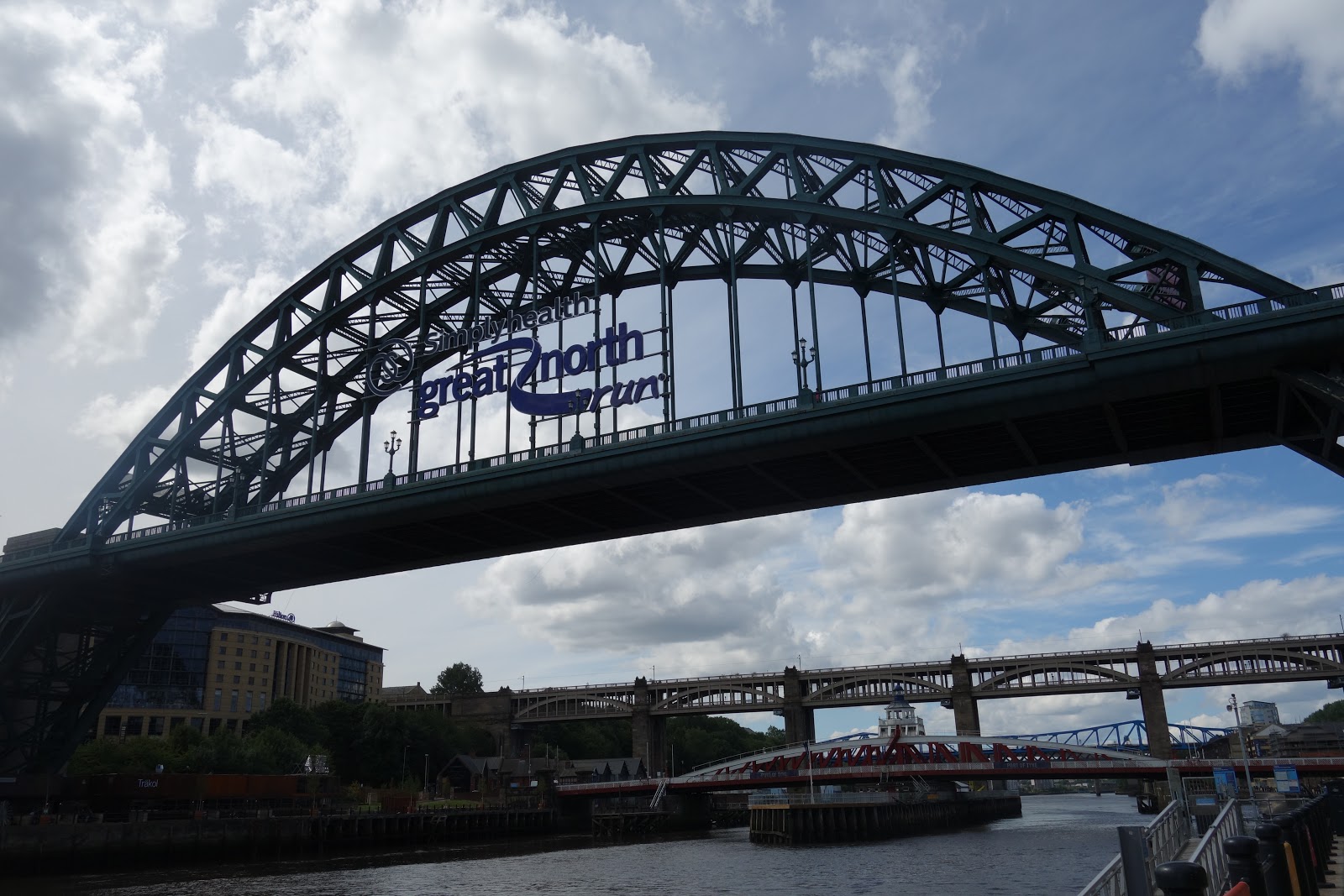
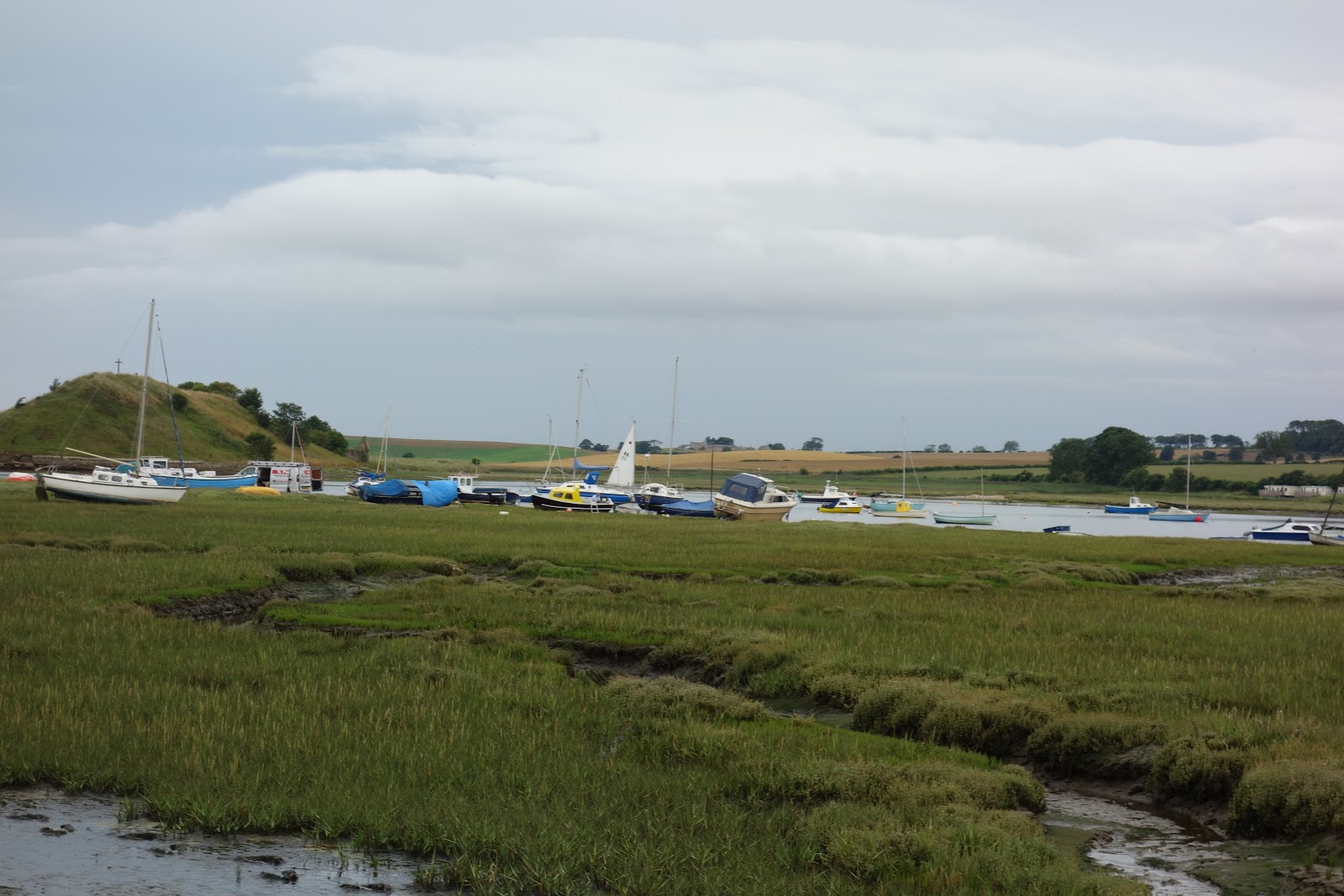
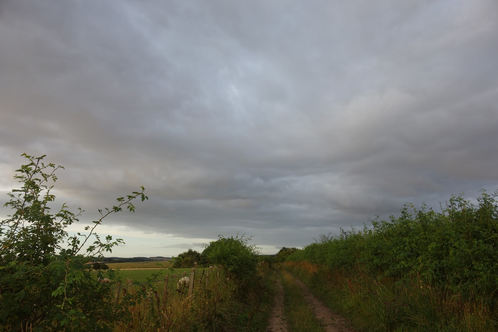
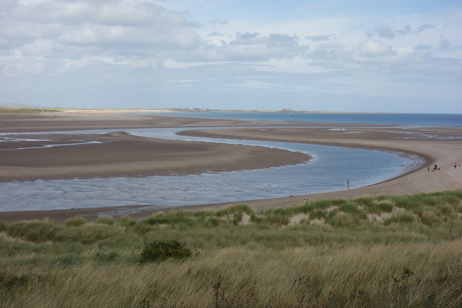
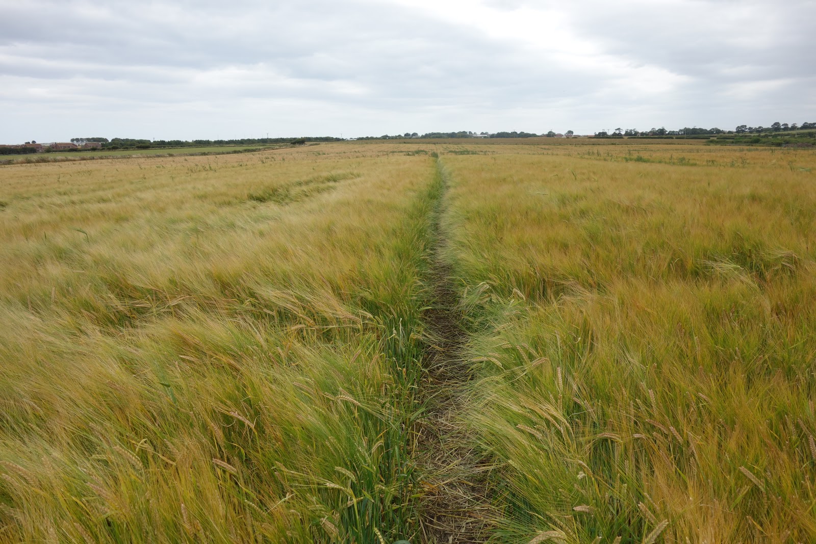
A view
:

Go through the falling down gate:

Letter box built into a wall, but, unlike Flat Stanley, do not have to go into letter box:

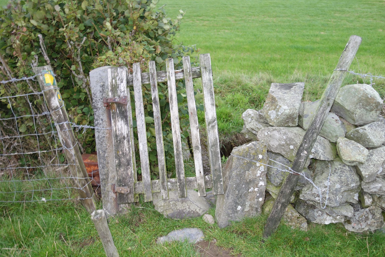
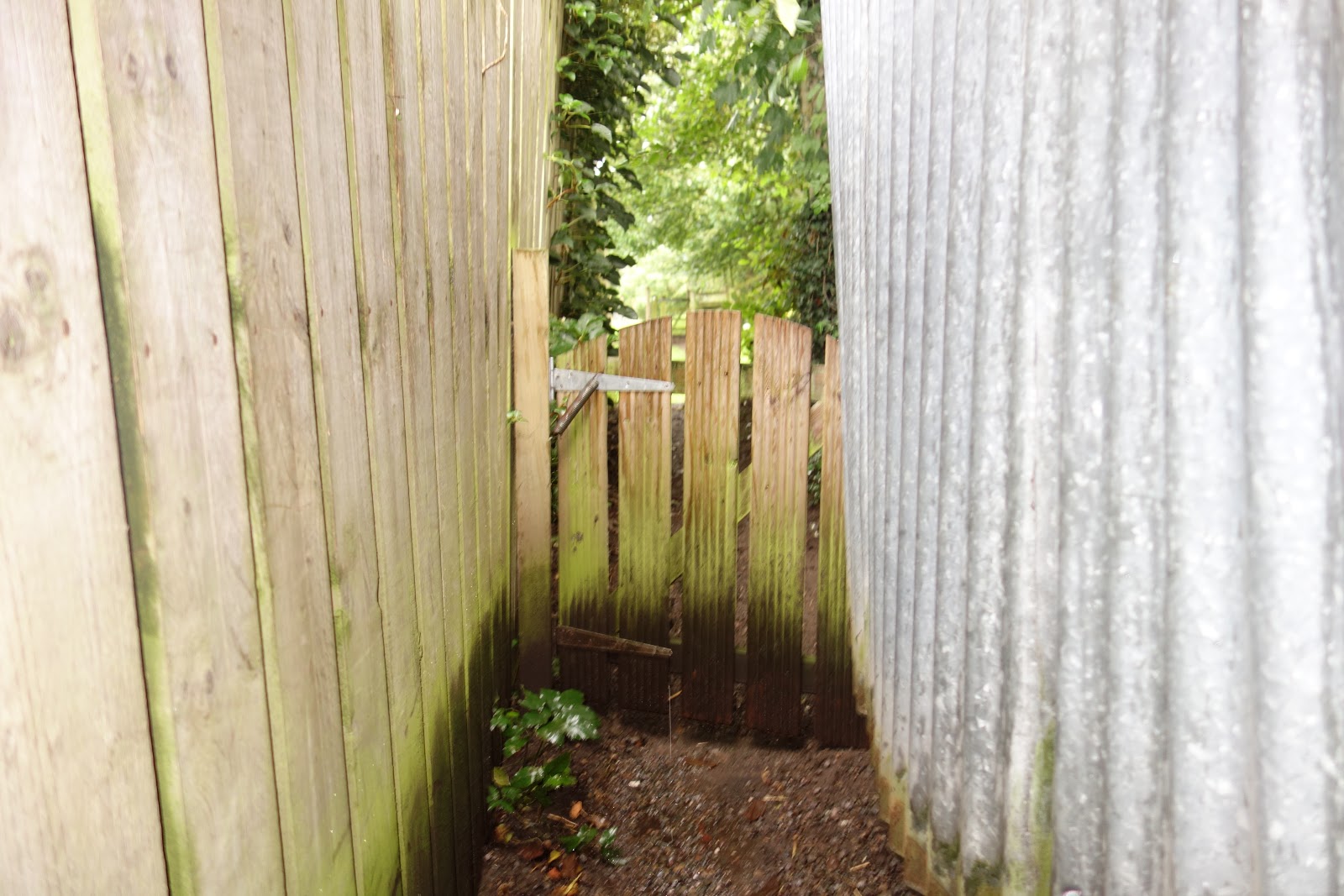
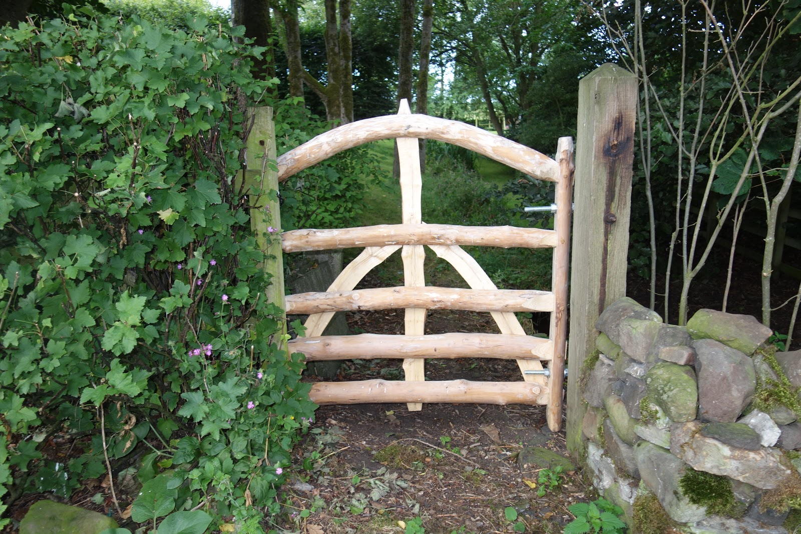
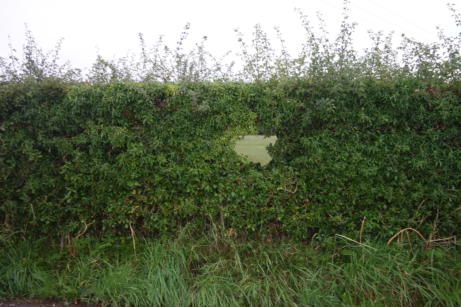
Chink in a hedge. Do not have to go through that, either, but it did make me think of Bottom, who, granted, did not actually go through any chinks, but the word so belongs to him and to Pyramus and Thisbe and all that:

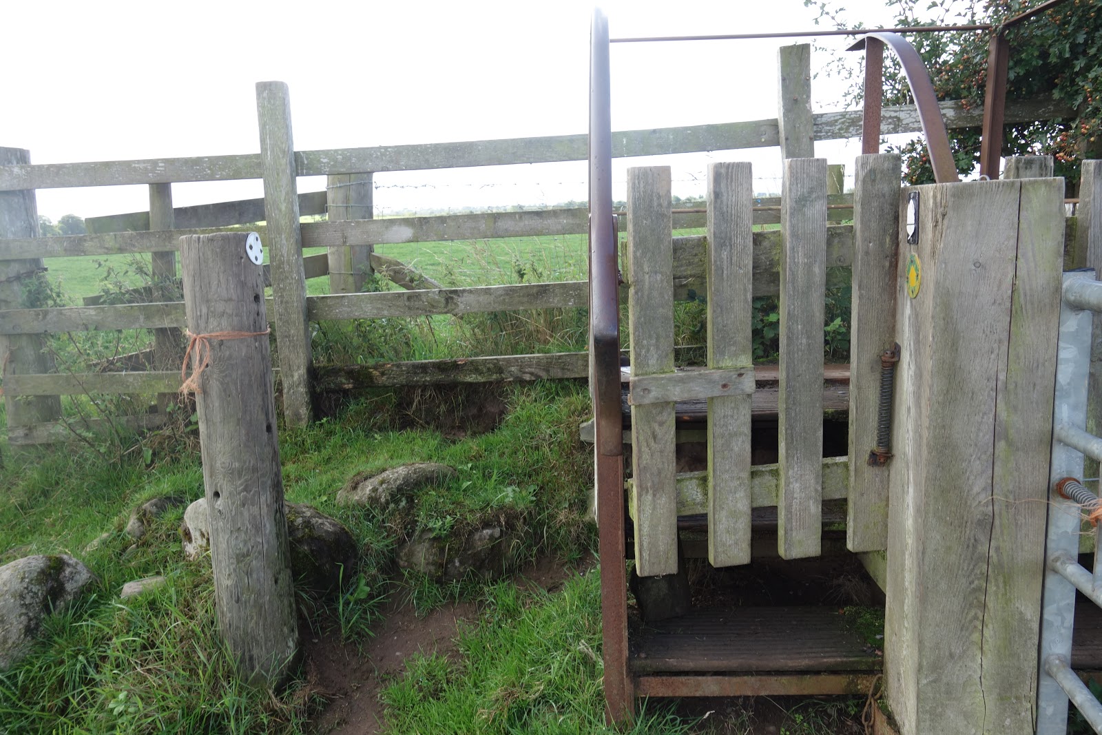
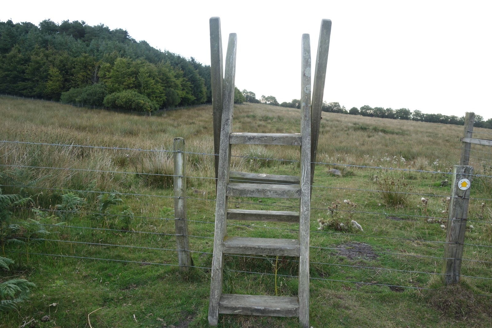
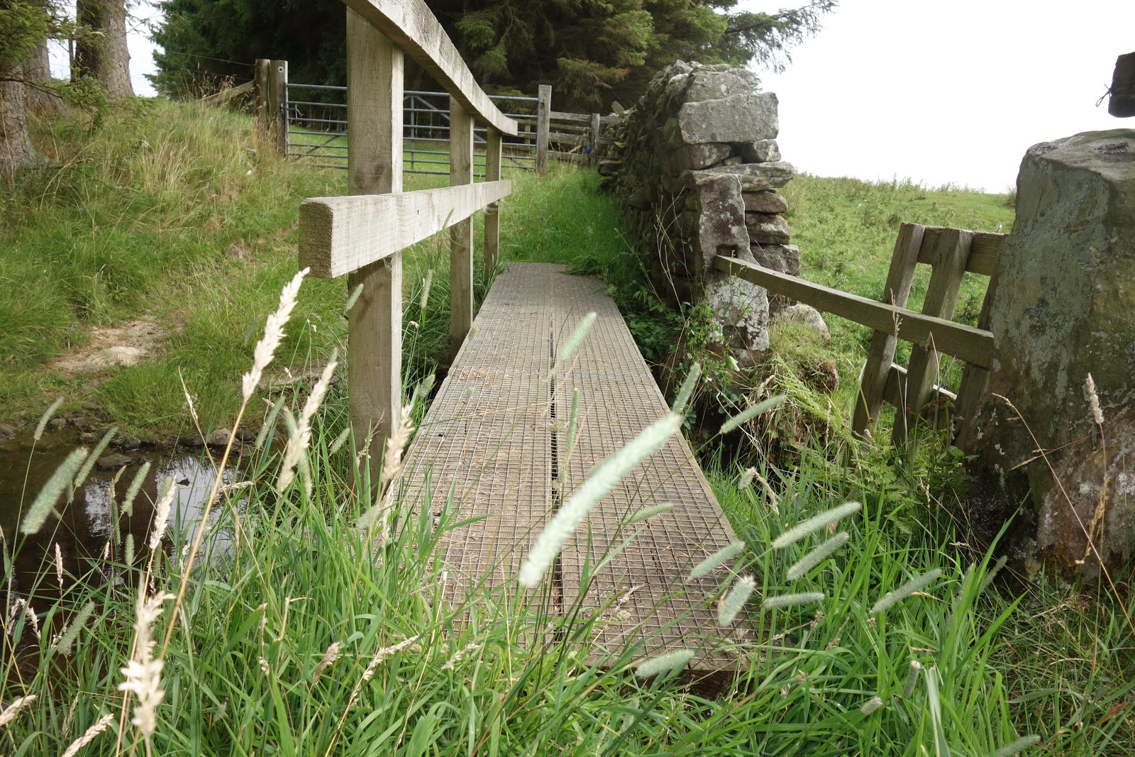
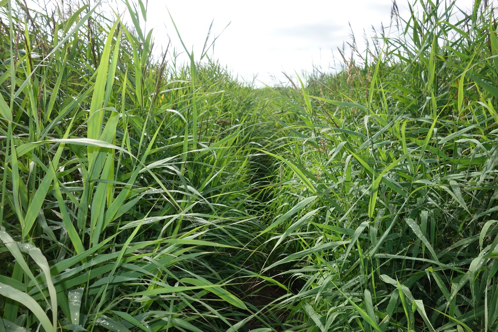
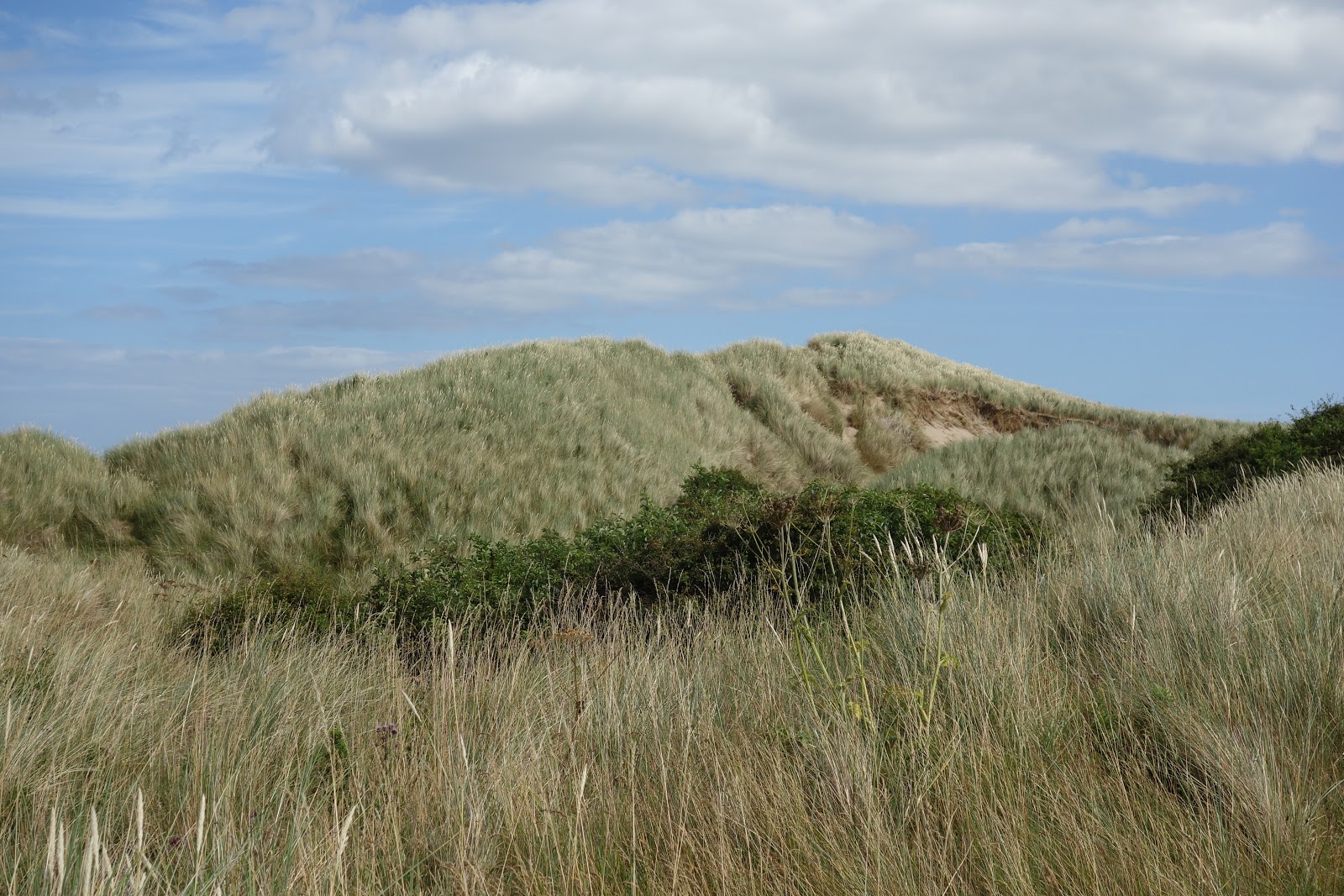
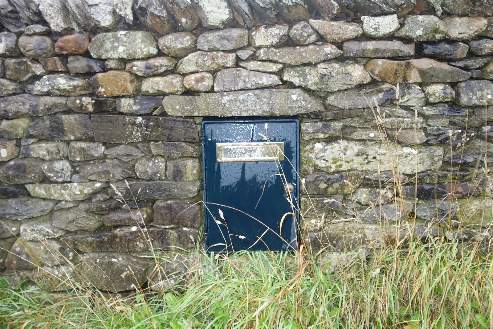
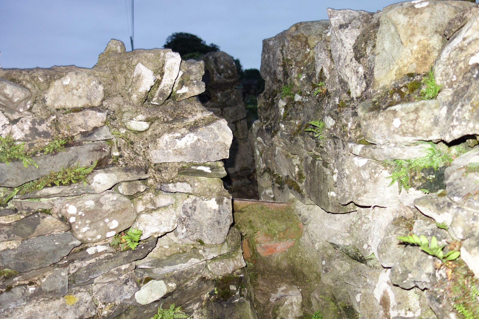
A narrow aperture. Do have to squeeze through that:

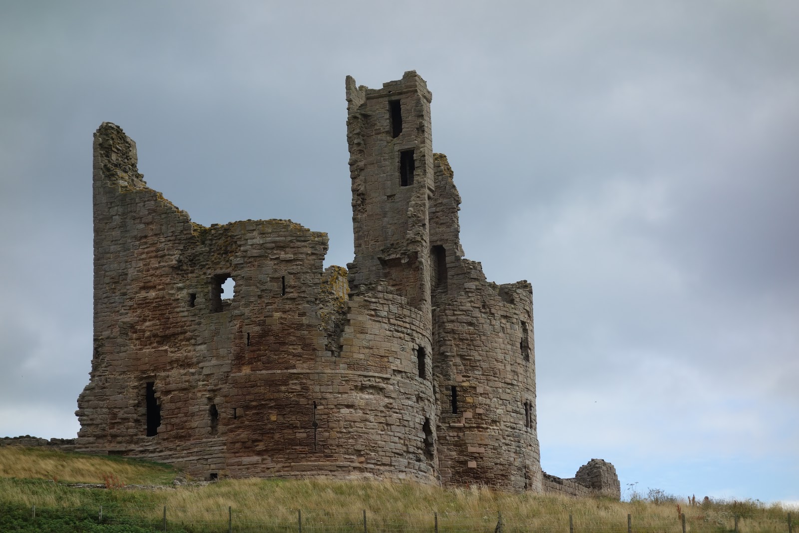
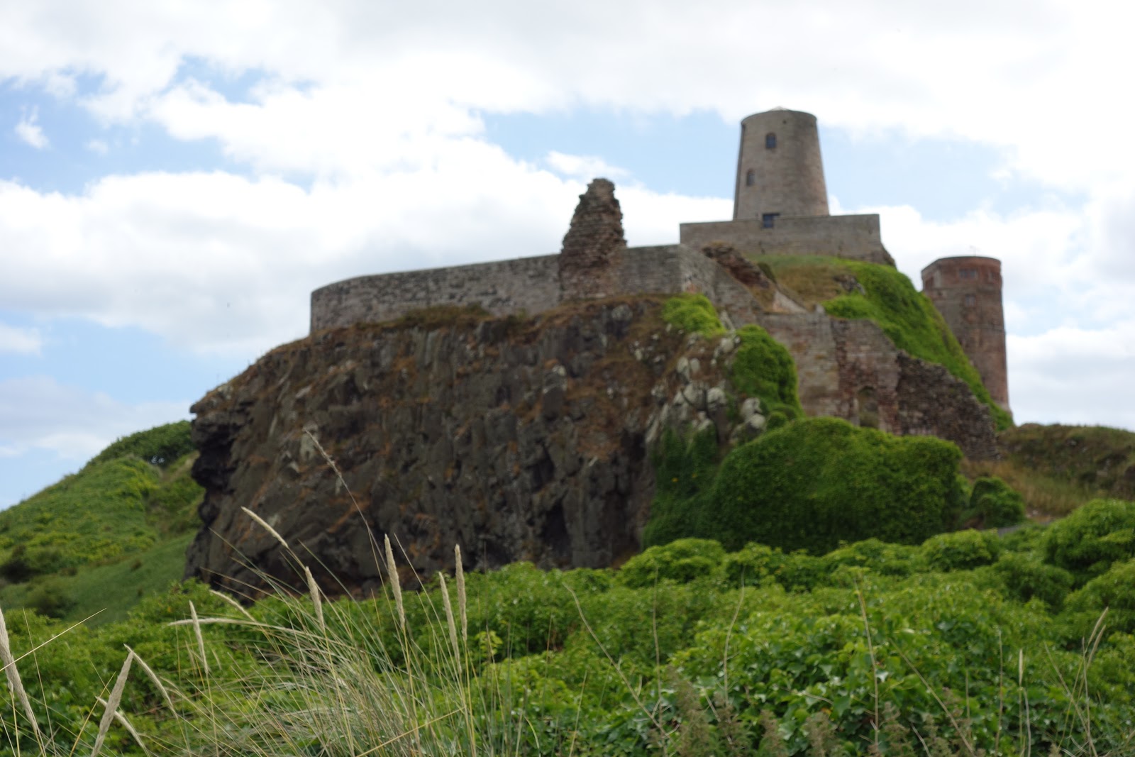
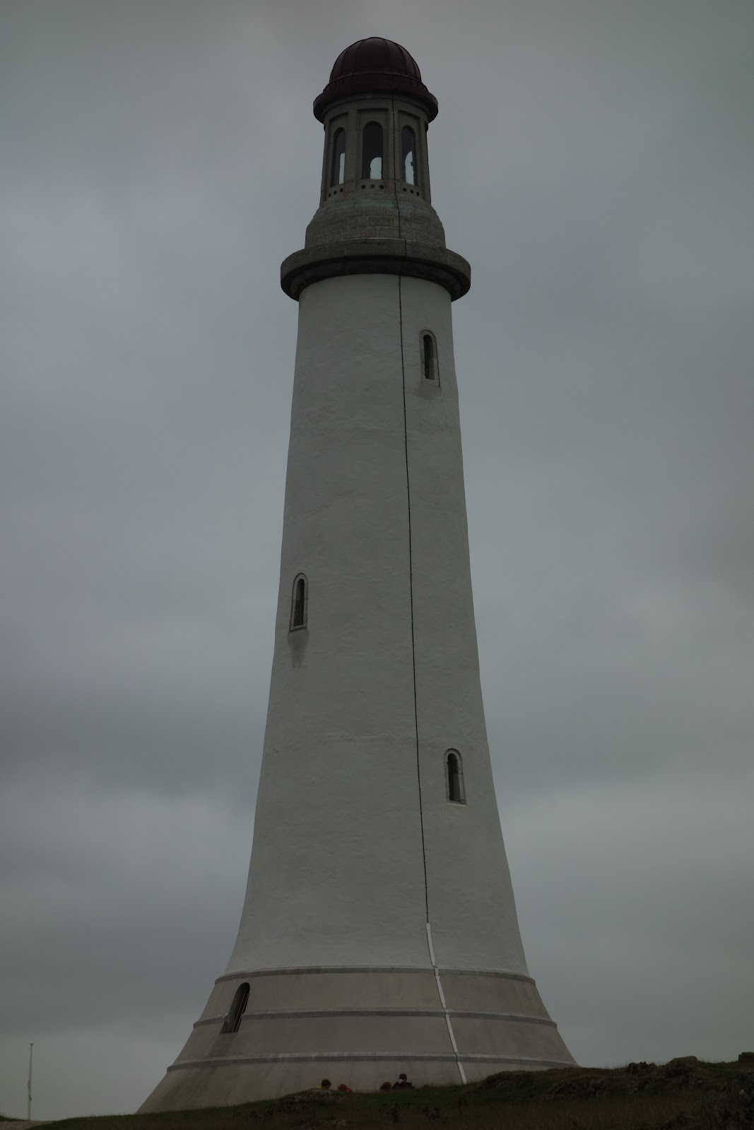
Sir John Barrow—founding member of the  Royal Geographical Society—monument on Hoad Hill in Ulverston.  Very famous.  Not a lighthouse, but built to resemble one, as opposed to that other tower that looked sort of like a lighthouse sort of like a windmill and sort of like dovecote.  Anyway, this one is way bigger and it is really windy up there on that hill:

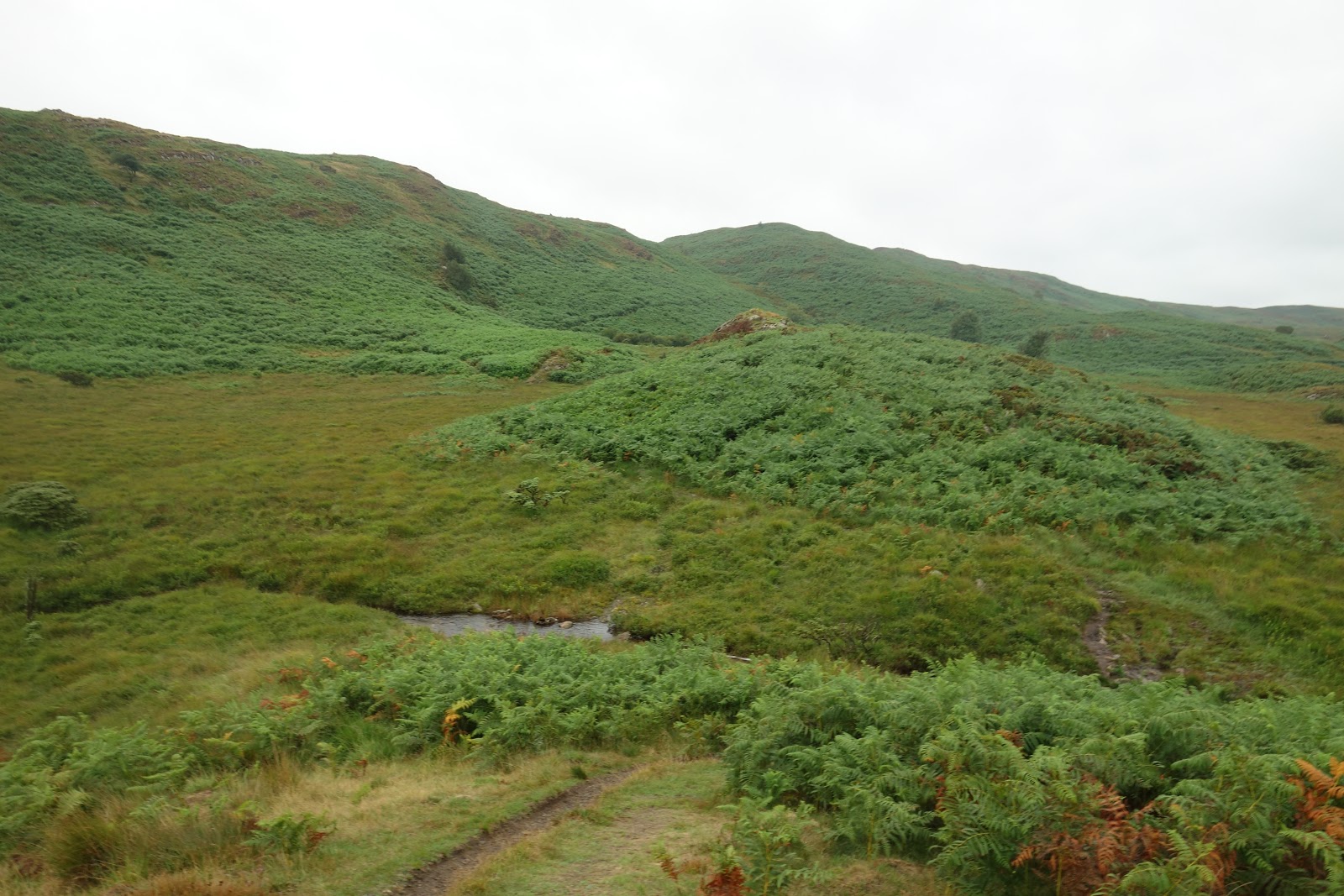
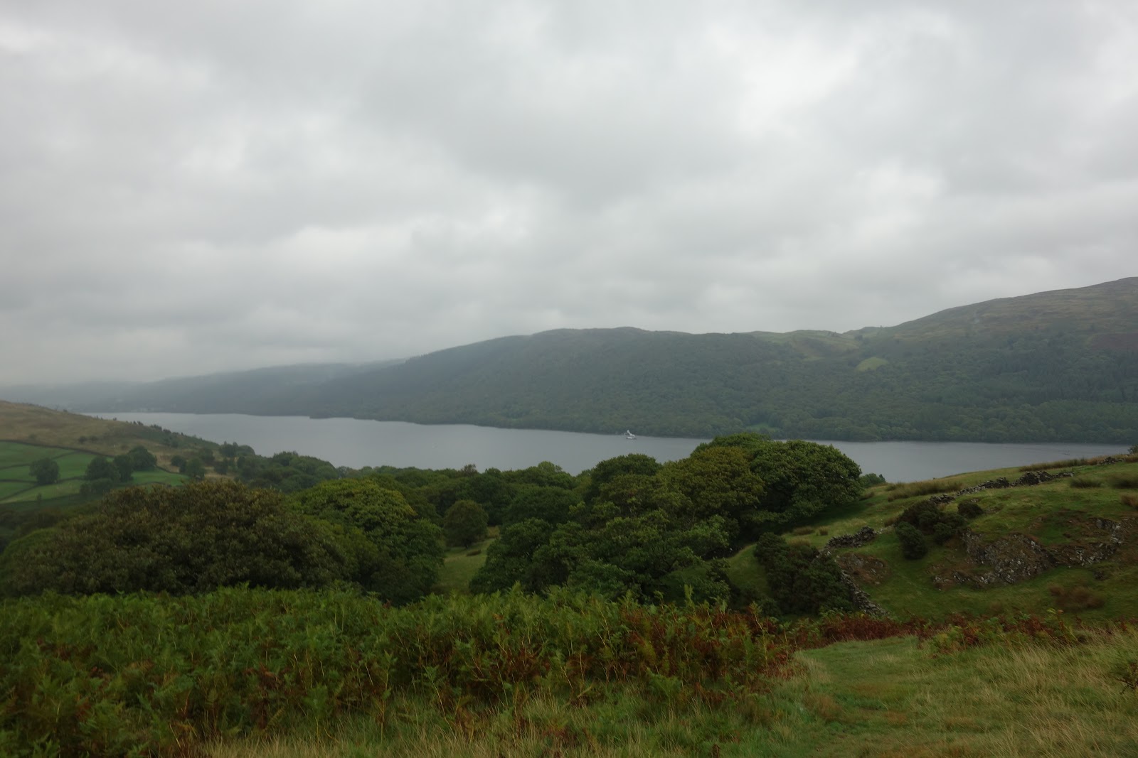
First view of Lake Coniston:

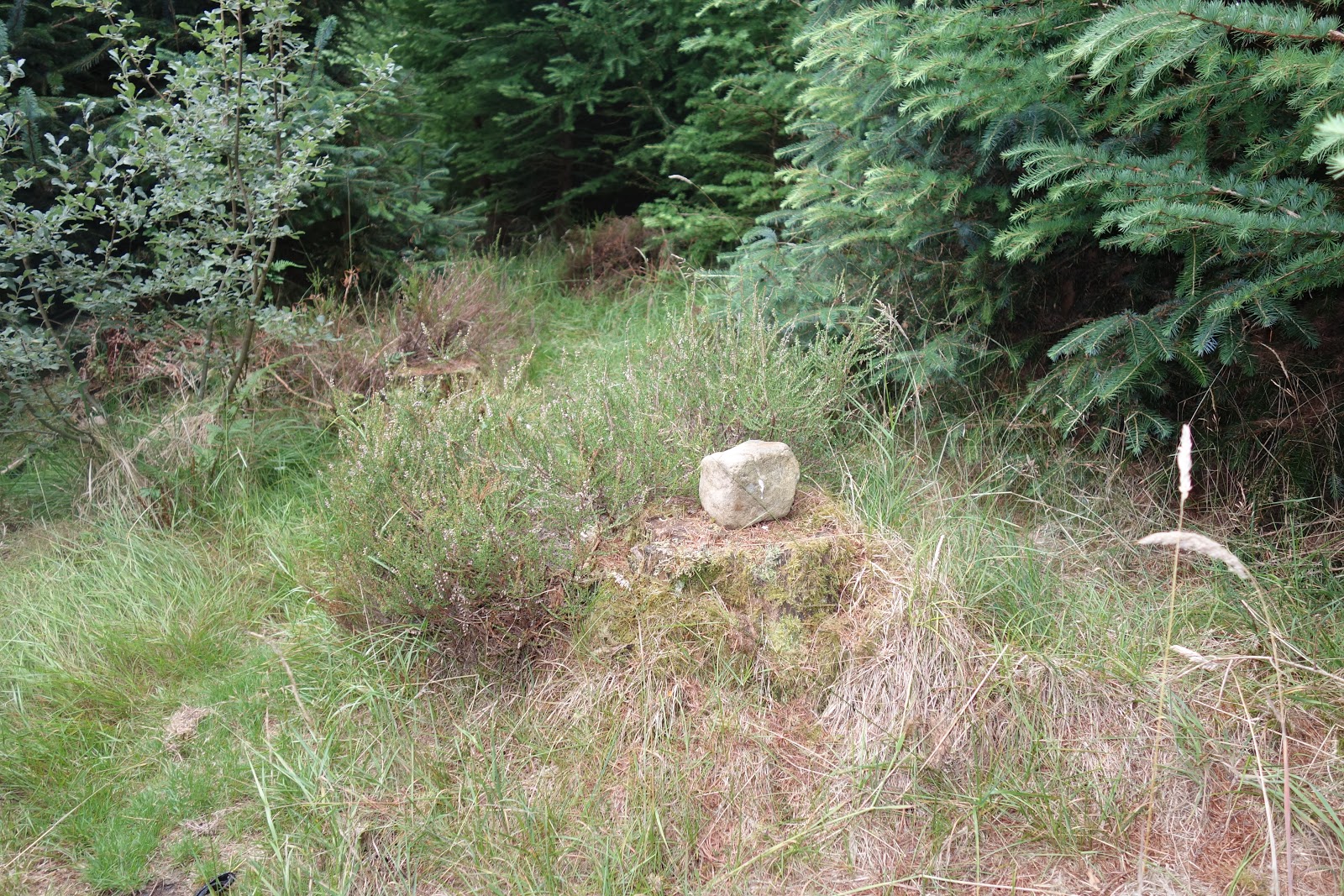
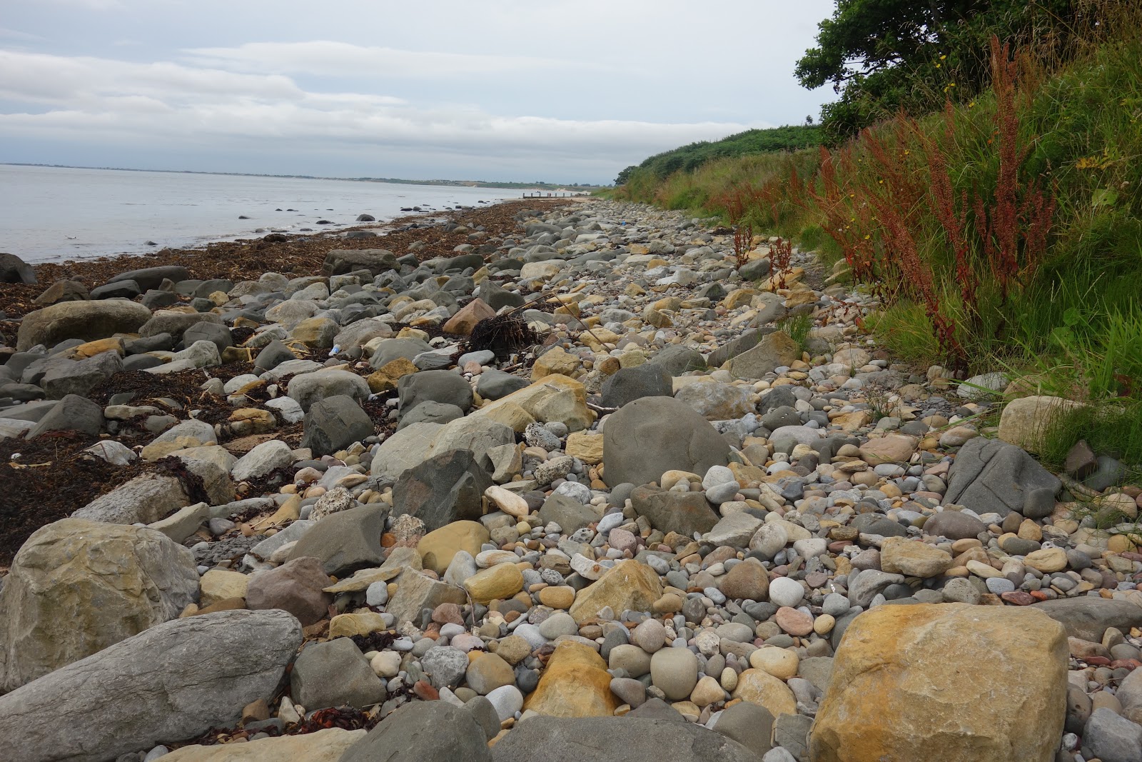
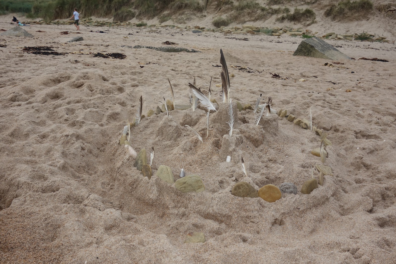
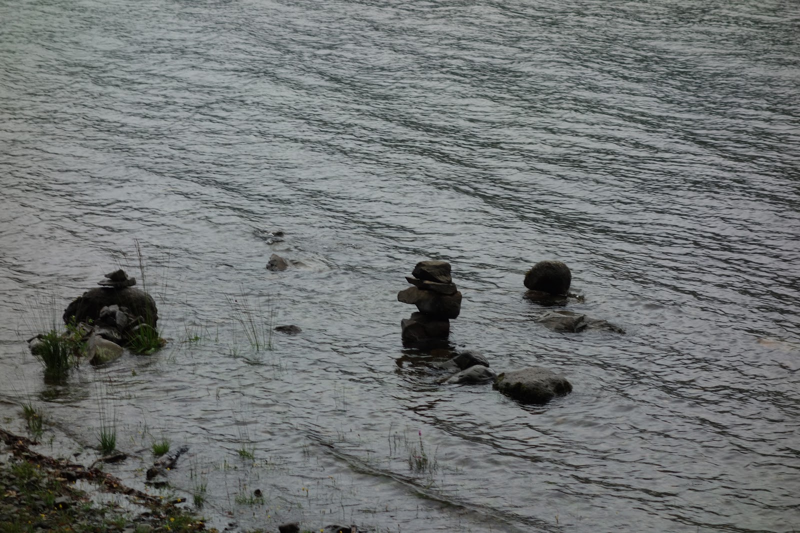
Mini cairns, built at low tide, no doubt!

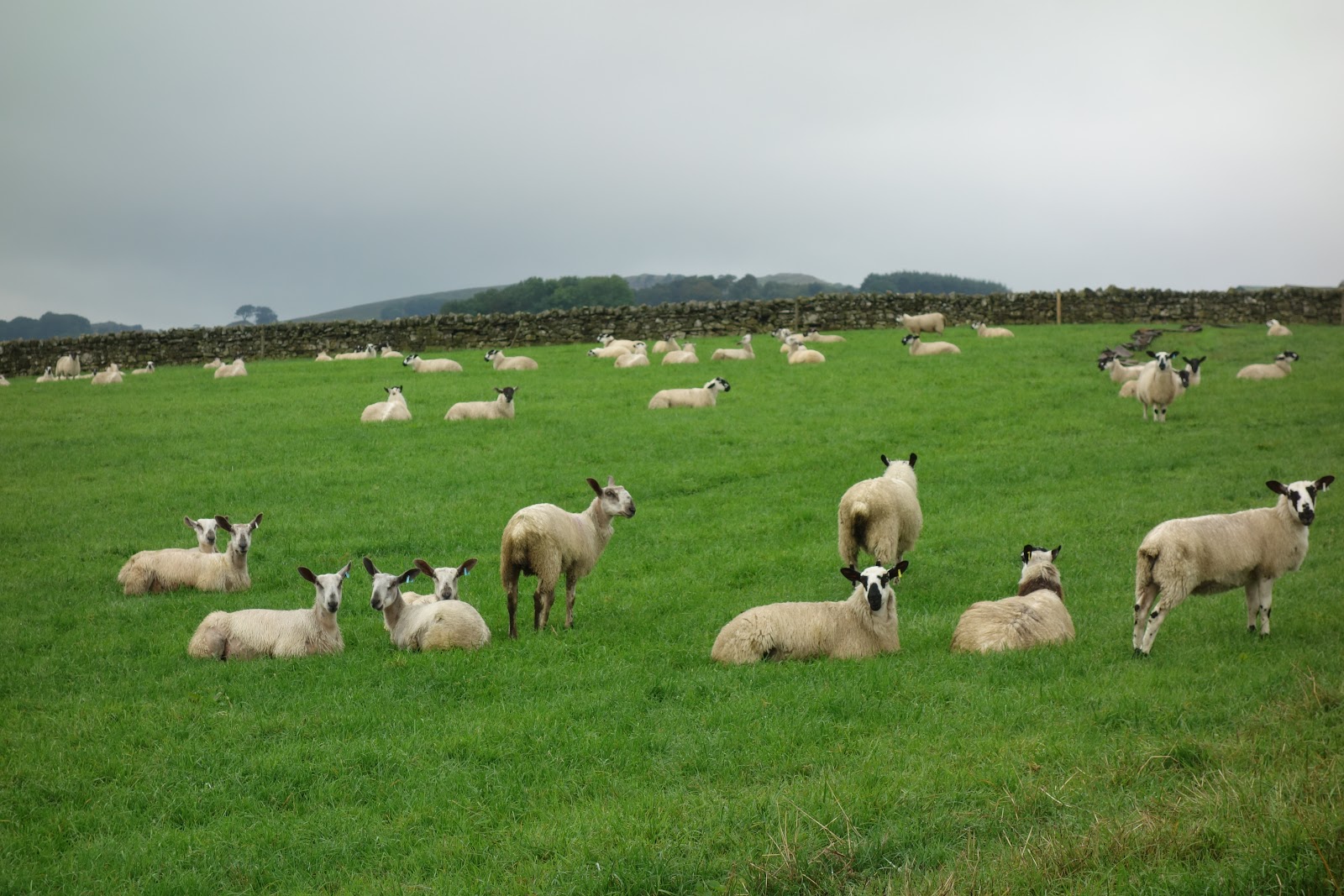
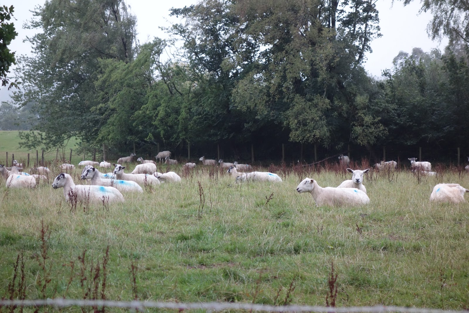
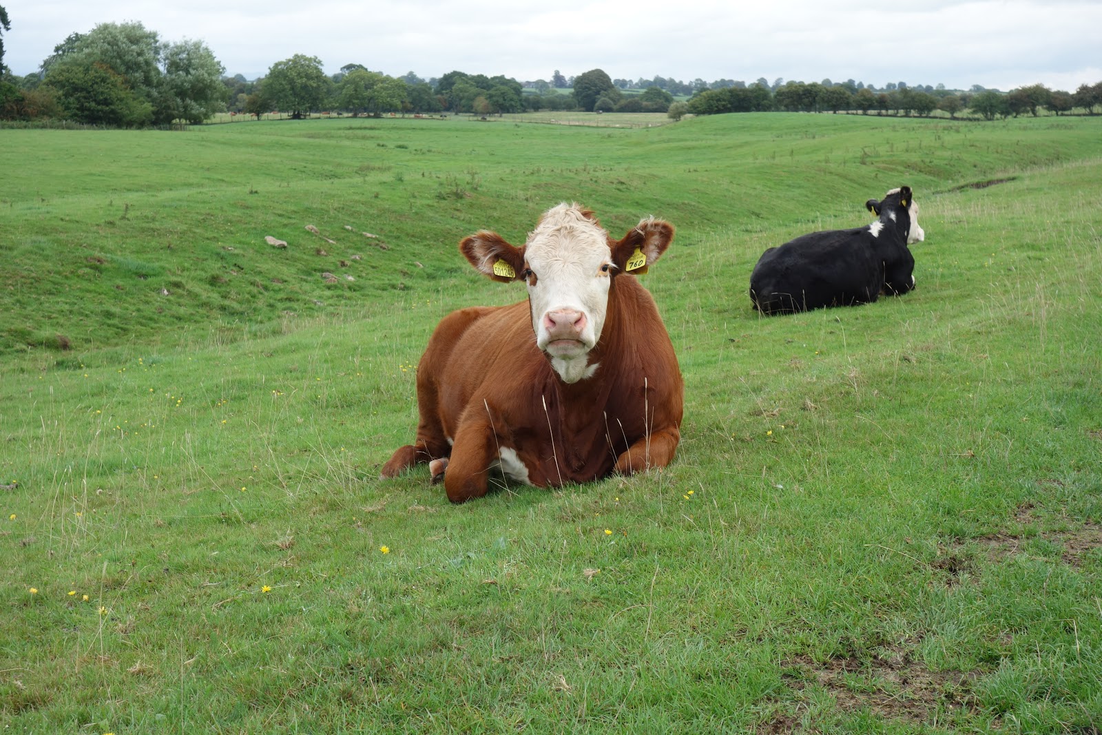
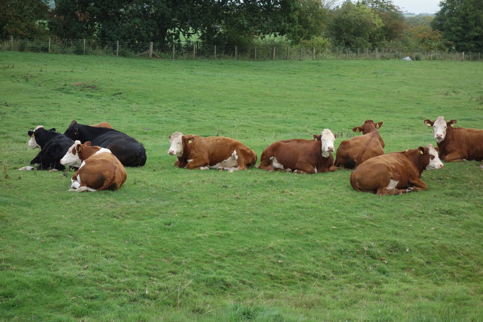
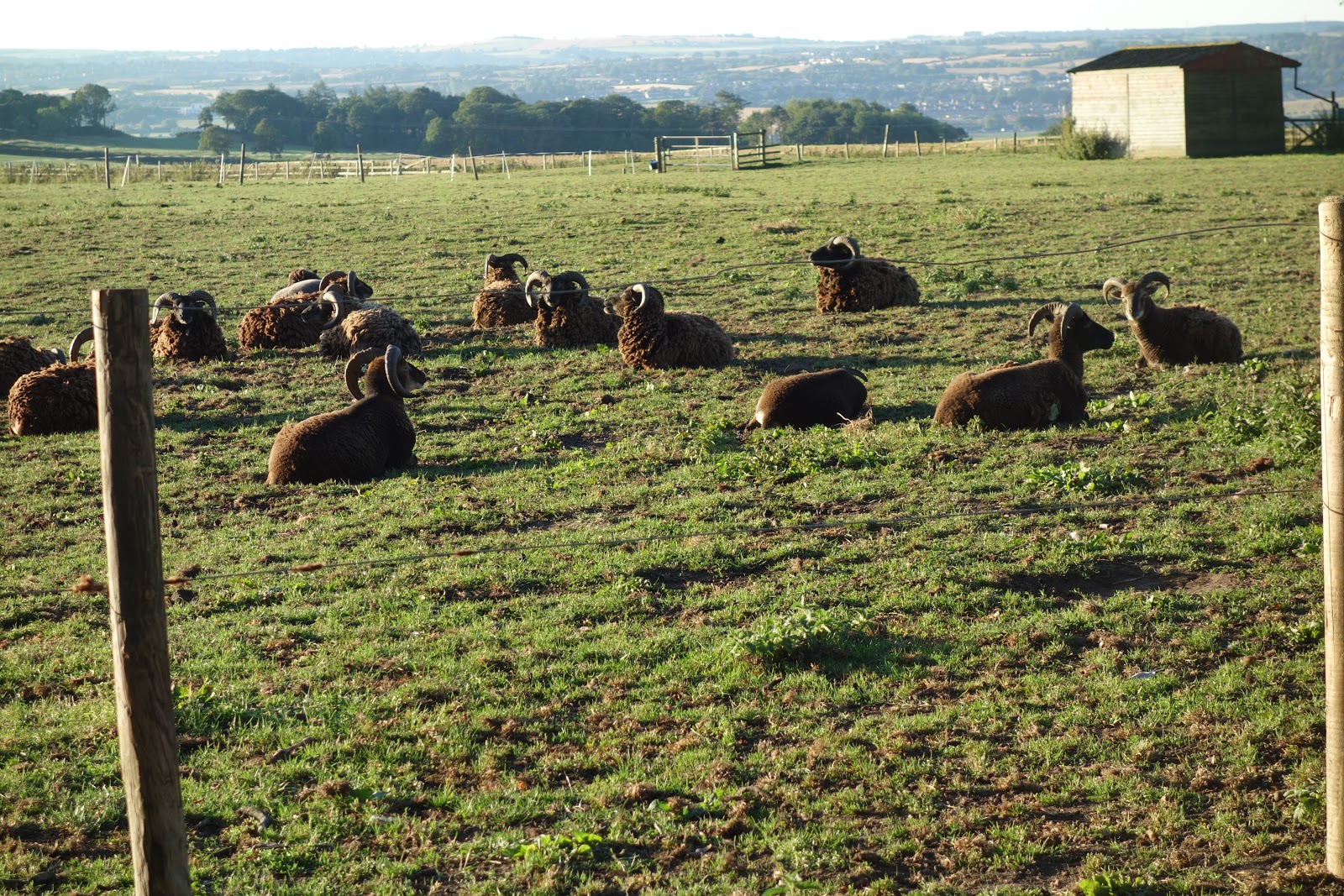
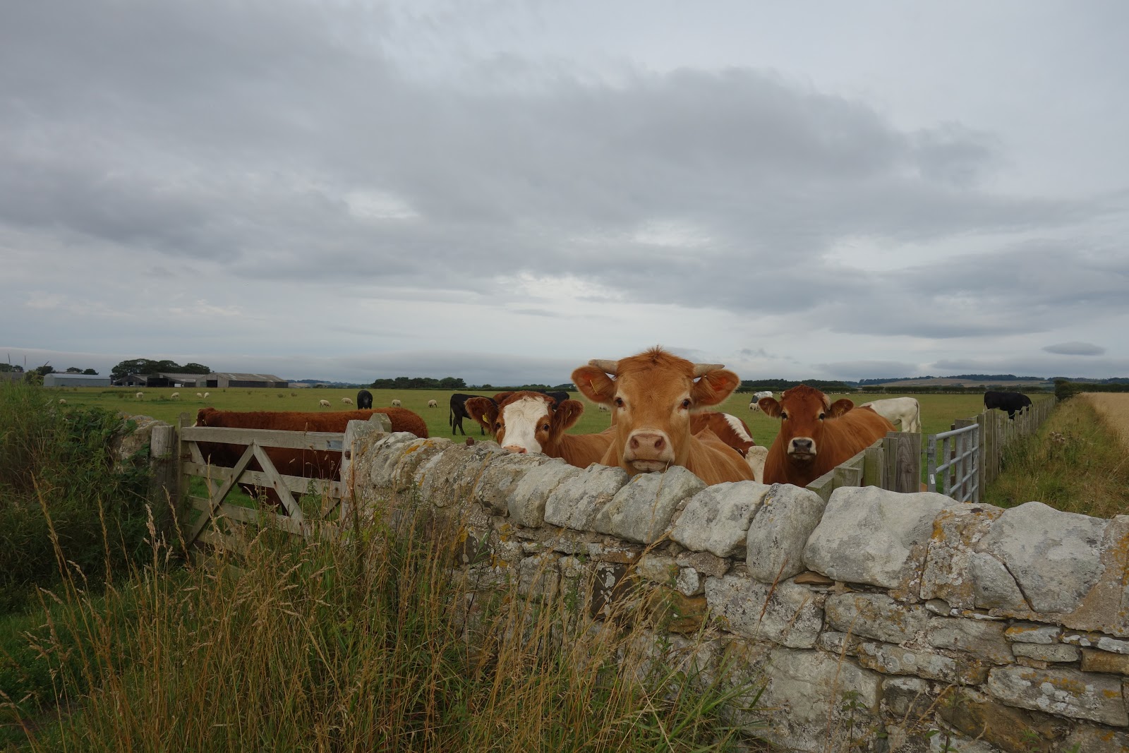
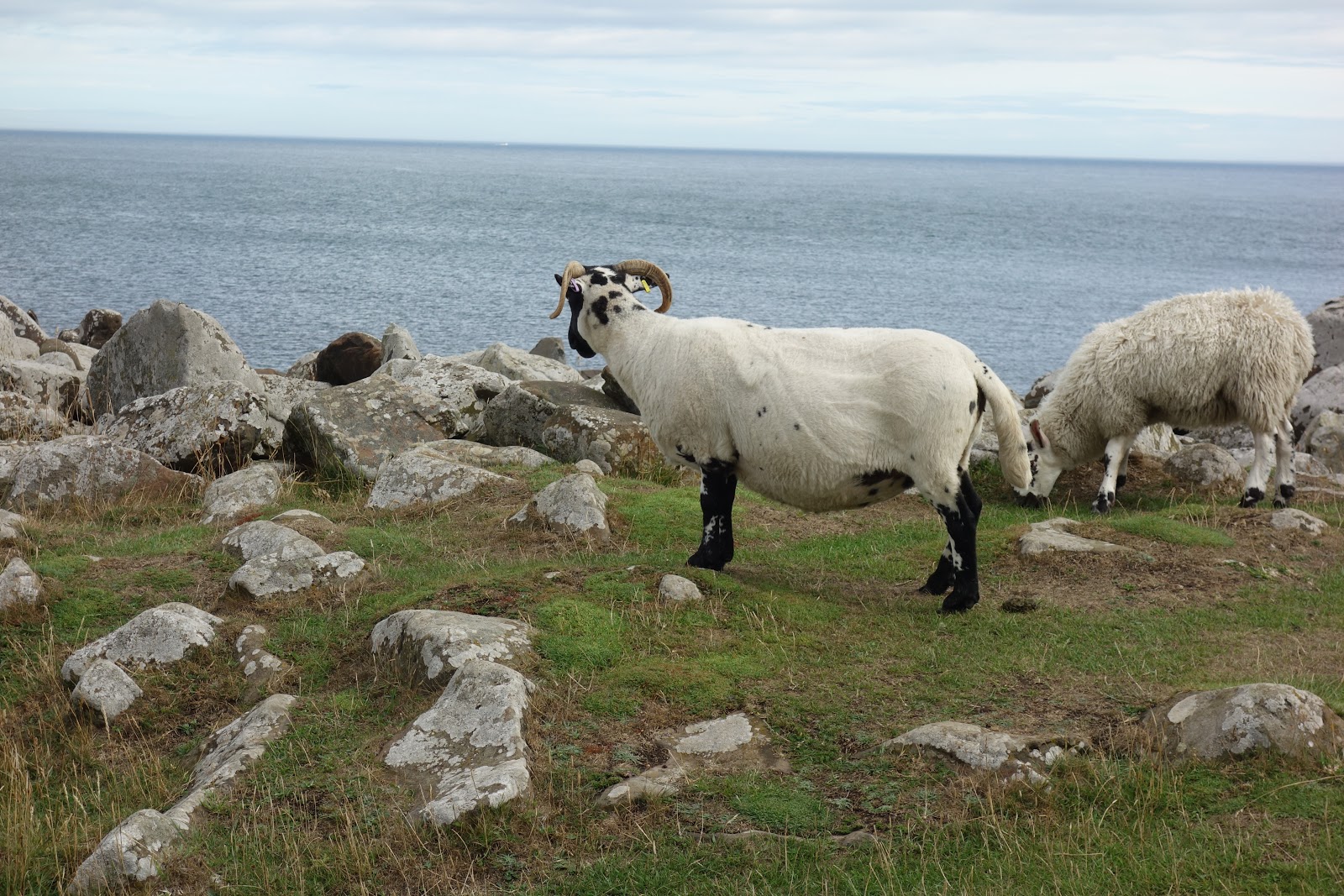
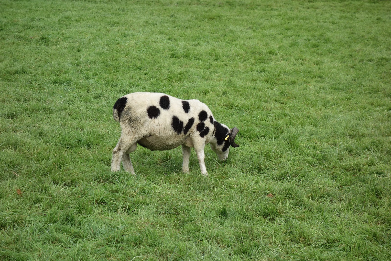
Sheep that look like Dalmations:

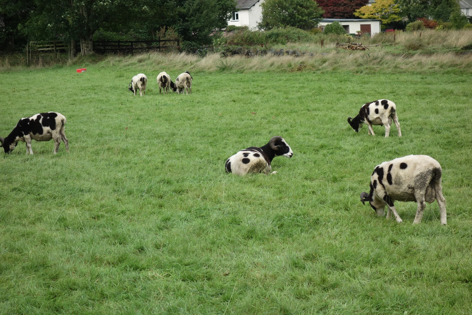
See, there are lots of them!

Sad story of today. For the first time ever on any walk, I turned back.  Reason: the path was flooded  out.  Now, had it not been raining, and had I not made arrangements with a taxi to pick me up at a particular time in a particular place to bring me back here—for such is the B and B arrangement—and were I able to get a phone connection to let taxi lady know at some point that I might be delayed, but, alas, there was way of getting in touch with her en route due to there being “no service,” I might have had the sense to think about whether I could find an alternate route to hook up with the path further on.  But I did not think of that at the time, AND even if I had, I would have worried that the extra time needed to do that might delay me for the rendez-vous.

So I sadly came back to town and headed up the Old Man of Coniston, which is actually a dandy climb, but about 2/3 up, barrenness and the rock structure and the wind and the rain and the cold, and the fact that not another soul was there just gave me a bad feeling, so I abandoned that effort, too.  Came back to town and bought a double scoop of ice cream.

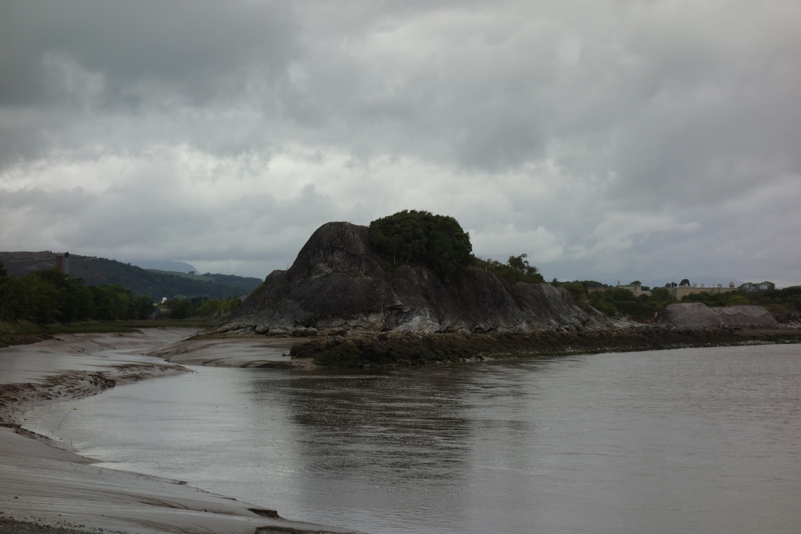
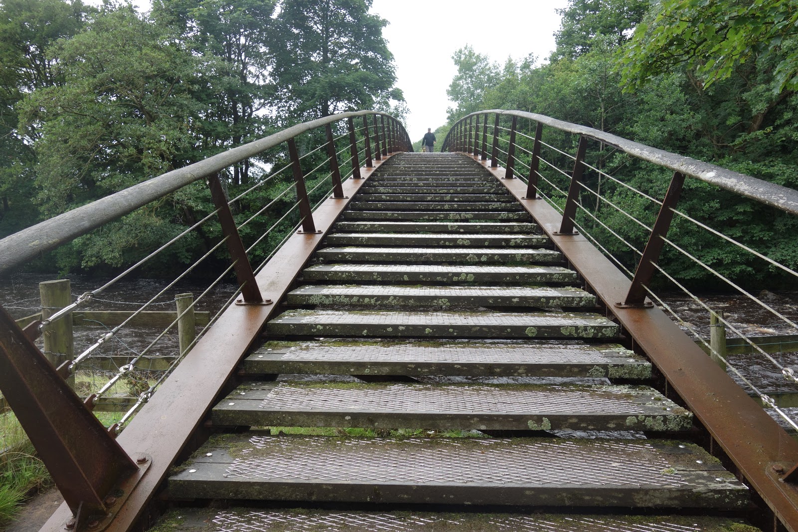
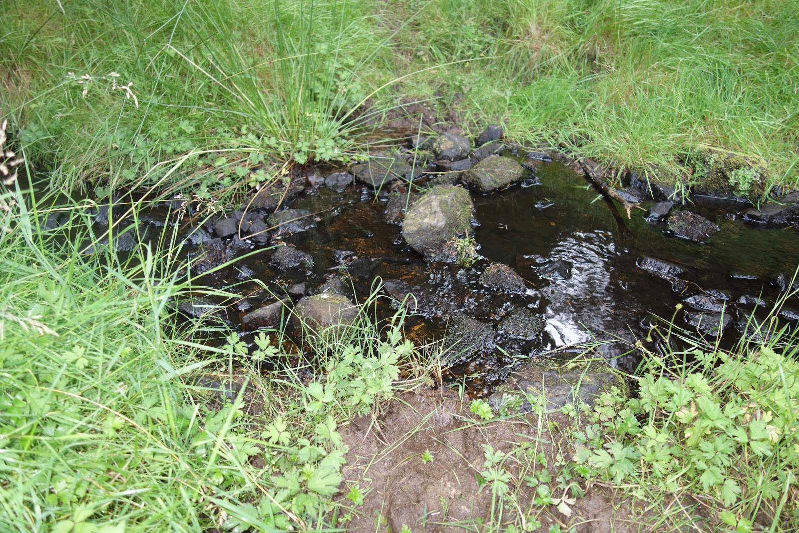
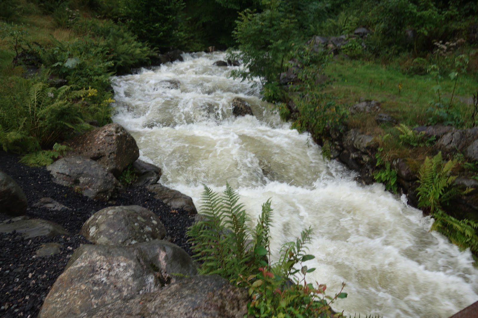
But here is what the river looked like on the way up:

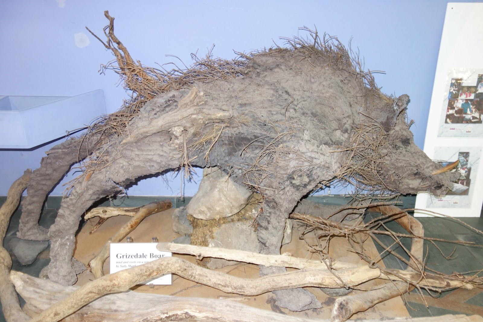
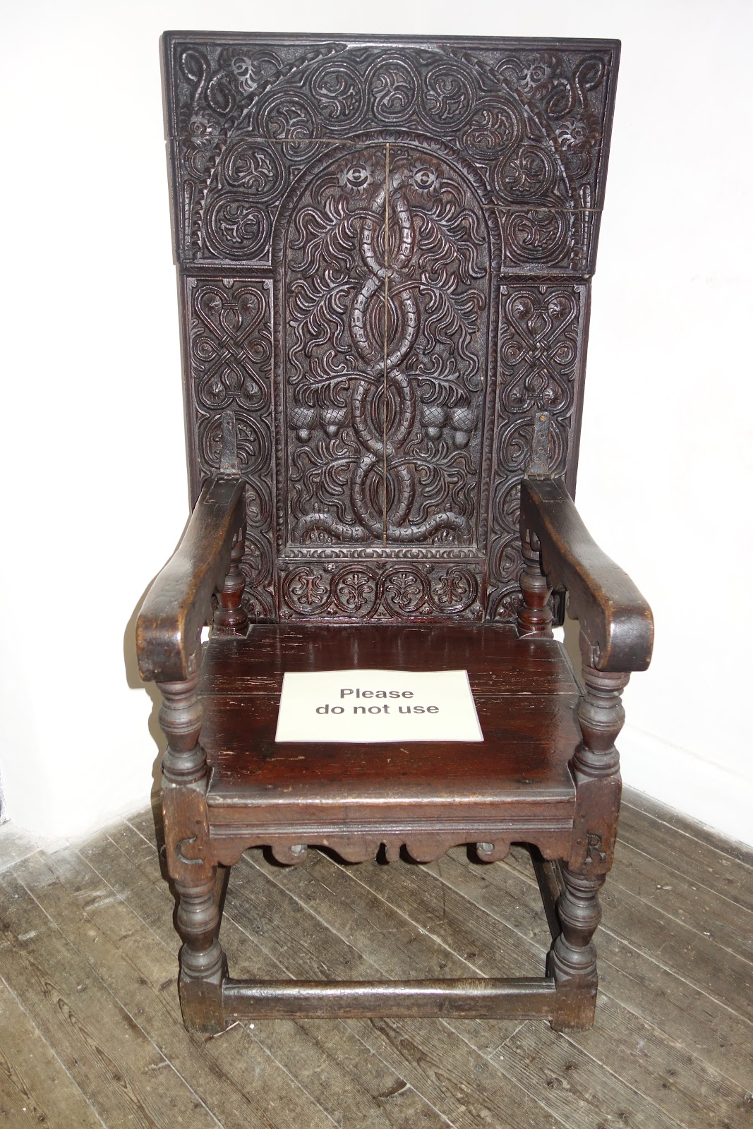
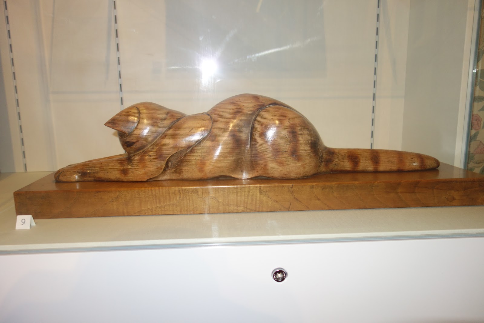
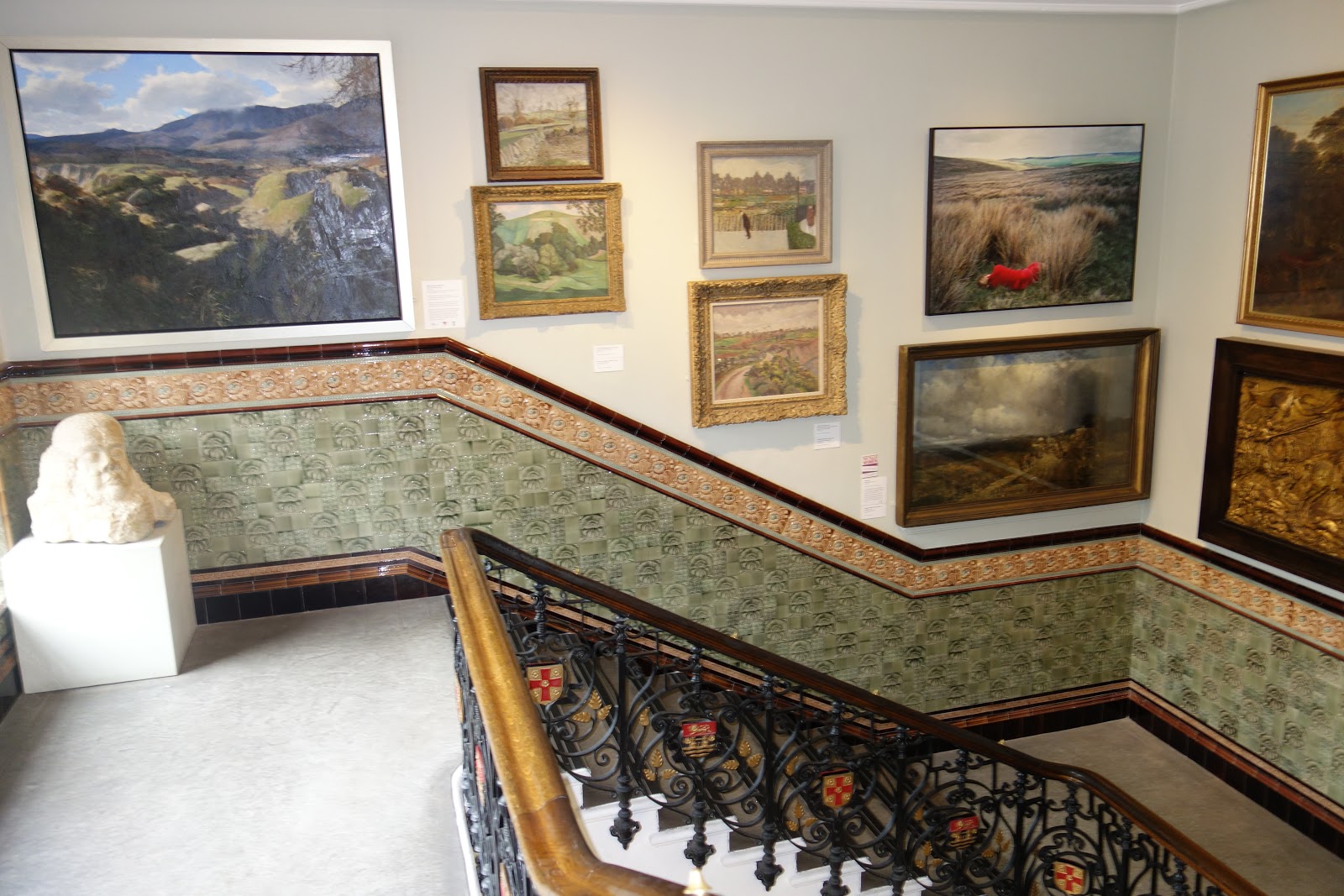
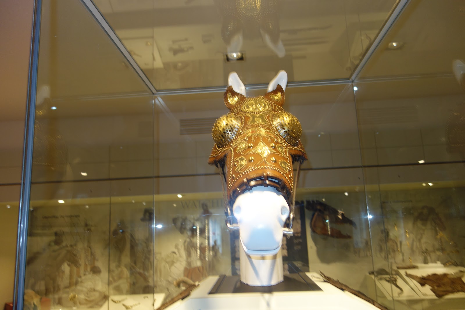
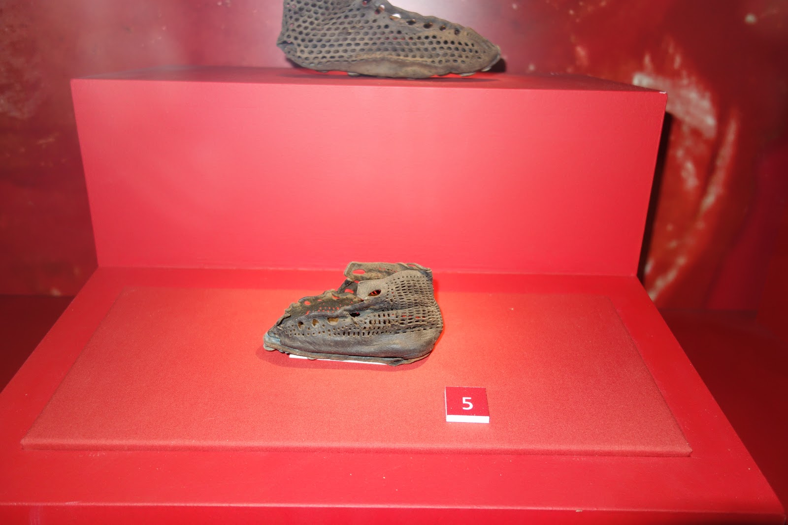
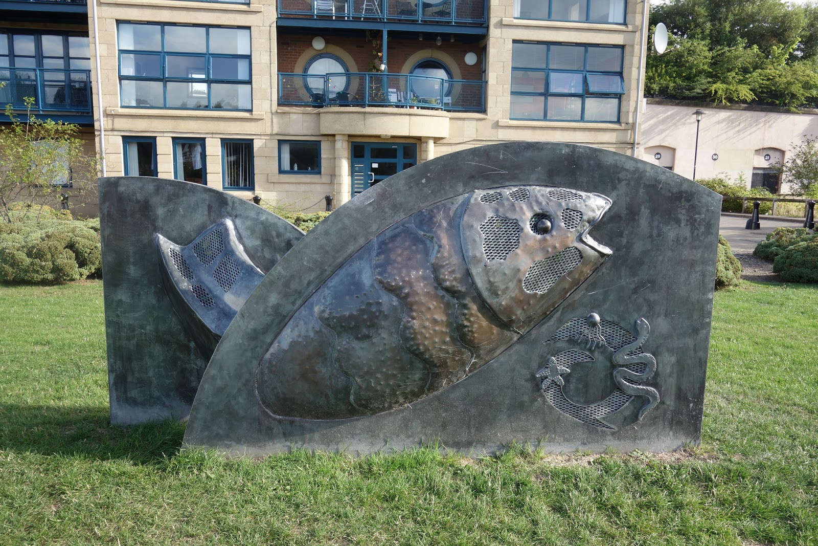
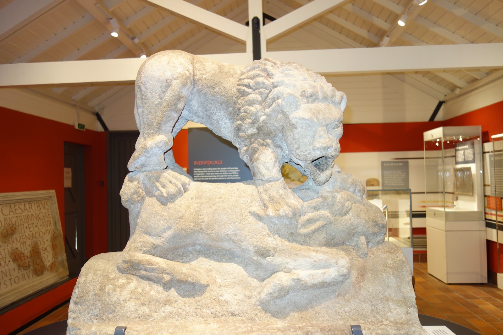
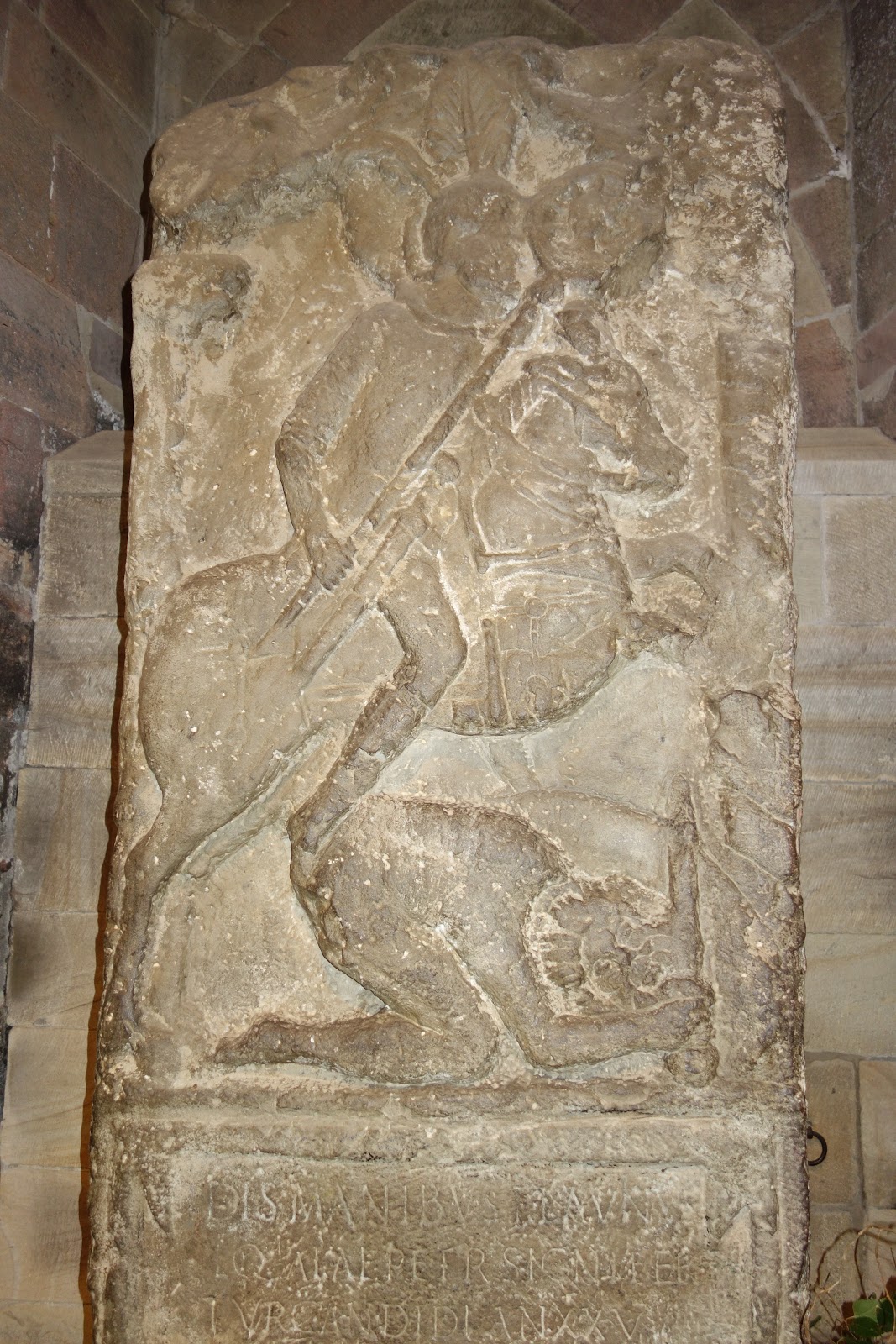
There was a little museum across the street.  I did like this boar best of all the exhibits:

August 16+17 Bowness-on-Solway and UIverston

End of Hadrian Wall walk should have a dramatic flourish, but it was rather ho hum, especially because I did it in reverse, taking a taxi to end point and walking back, since a train needed catching and bus ran too late.  But back to The Wall.  Sometimes the way it is described, it sounds as if The Wall is straight out of Game of Thrones:  The North and Beyond The Wall and all that!

An early morning view at Bowness:

Over an hour of this:

With occasional company:

Took trains (there were two) arrived in Ulverston, schelpped suitcase from station and could not find B and B since street sign was missing and sign on door of B and B is most discreet.  A local helped.  Guy who runs the place is extremely nice and let me use the frig.  I just love having use of a frig!

As a rest day excursion, I went on extremely nice “Walk Around Ulverston,”supposedly 11.5 miles but what with finding the way several times (I did this without GPS support) because the instructions were so scanty, it was about 15.  But it turned out to be the prettiest walk so far.  Unfortunately, it was rainy and the rain will continue for a couple of days, which is a shame as the Cumbria Way is the most beautiful section of the whole excursion.

A wee gate:

A number of the park benches are painted like this:

A swan family reunion?

Morecambe Bay:

A quieter section of Morecambe Bay:

These walls impress me more than does Hadrian’s Wall.  They go on forever, up hills, down hills.  Exquisite!

On the circular tour of Ulverston, is Swarthmoor Hall, the founding place of the Society of Friends.  The building was really interesting, but I got the audio tour (free with the price of admission!!) which went on for 40 minutes.  The patient narrator drove me nuts and I was not persuaded to convert.

Here is George Fox’s traveling bed, which was given to him by Quaker plantation owners in Jamaica in the early 1670s.  Constructed of lignum vitae—said to be the world’s heaviest wood—it weighed over a tonne and took two horses to carry it. So much for the simple life.

Leaded glass windows:

George Fox’s chair:

I wonder if he was allowed to use it.

Late this afternoon I realised I had not entered GPS data for the Cumbria Way, a potentially disastrous situation.  Without going into detail, let me just say that creating and entering the information is a tedious, time consuming effort, AND after two hours, thinking that at least I had the first day done, thought I had lost all the data, so had to enter part of it again to convert one format to another, after which I would transfer it to GPS.  Meantime, computer is running out of battery and the adaptor is so fussy that the GPS would not connect through it to the computer, but after I talked very nicely to it, and gave it its choice of three ports, it behaved. Only then, like a jealous sibling, the computer would not charge through the adaptor.  Anyway, finally it all worked out.  But for the next several days, I will have an extra two hours of very boring and precise work to do.

August 14+15 Banks+Carlisle

Pink striated sky!  What a day this will be!  Ten minutes later, heading up the hill, thick mist that soaks right through your clothes in a few minutes and wind and cold = put on the rain gear.  Fifteen minutes later, add poncho.  An hour after that, humid and hot, divest, then rain and cold, and so it went all day.  Really slows a body down.
Today had several brief conversations with wakers going in the opposite direction.  How pleasant that is!  One guy, an environmental scientist, from Oregon, now working at Oxford as a tutor for a couple of years, even asked ME for directions!!  And guess what? I was able to tell him which way to go!  Two other guys asked if I knew where a nearby campground might be, but I had to inform them that this princess stays in B and Bs, so did not really pay attention to campsites, and that furthermore, I could never carry all that gear, after which they confessed that they could barely manage it either!
Such a very pleasant scene, even in the rain or maybe precisely because it was raining:

Cliff faces and I cannot remember why I took this picture!

Sometimes the wall is a very close companion.

Bridge with steps:

One thing about this route, no high grasses and ferns and thistles and gorse and brush and thorns to push through.  There is some beautiful walking, though.  Despite the crazy weather and its demands, today’s walk was quite delightful.

Was happy to reach Carlisle.  After three cups of tea and a sandwich, it was time to hit the highlights, which, here, means the Tullie Museum.  Spent most of my time staring at an exquisitely decorated Amati violin.  Reminded me of the movie, Le Violin Rouge, an absolute must-see.

Scene in the rain:

Pulling up the best bits:

Now. this is a novel use of space:

Very small gate:

Just as I was about to take the picture, this cow stopped chewing her cud and lifted her head up just a bit. I would swear she was posing:
 
Her friends, on the other hand, seemed not so interested in a modeling career:
Cat:


Staircase, tiled wall, paintings and a sculpture at the Tullie Museum.  Look closely and you will see some small brass projections on the descending railing.  “What are these?”  I asked.  “They are to prevent people from sliding down the banister!”

August 12+13 Once Brewed

Preface:  The Inn here is called Twice Brewed.  It is in a place called Once Brewed, only there is nothing here but the Inn. It is all rather confusing.  The story is that long ago, lost to the dawn of time, someone of importance stayed here and complained about the ale, so they brewed it again.
Here are the bare essentials one needs to know about the wall.  Why this plaque was placed at the Temple of Mithras (see just below), is not clear:
Now, this is an awfully small footprint for a temple to a deity.  After you have an altar and a bull and so on, where is the room for all those Roman soldier worshippers?
No doubt the soldiers who constructed this wall frequently worked in the rain, so this is how the day would have looked to them:

The sameness of the size and shape of the stones is remarkable. But, I did learn subsequently that parts of the wall were first constructed of turf and then wood and when it was all stone…..who knows?  But what I would like to know is how the stones were schlepped there and whence they came.  (Same question regarding castles, cathedrals, forts and so on.)

Sometimes there is no wall, it having fallen into disrepair and its stones looted, perhaps for other projects, but there is a ditch:

And there is the occasional surprise, like this lake:

In places, the wall twists and, from a distance, looks graceful:

Sometimes is goes straight up and when it does, so do you:

I was not thrilled that I had scheduled a rest day to see some of the highly touted sites like Vindolanda, but had I not gone, I would have agonised over what I had missed.  So I obediently went off to Vindolanda, which, if you are going to visit one archeological site, is the one not to miss as it is large, has a decent museum, and the setting is lovely.

Imagined face guard for horse:

Actual remnant:

My favourite display was the shoes:

How advanced was this? Some soles even had a tread!

And there were little kiddie shoes:

And a whole display of shoes that is set up just like at REI!!


Then off to the Roman Military Museum from which I really expected to emerge an expert in all things militarily Roman.  They had a 3D movie, mostly of the wall, so it was fun to see, in 3D, where I had walked.  Then I learned, or was reminded, that after 25 years of service, an auxiliary—a (conquered) foreigner compelled to serve the empire—could become a citizen and have a wife and a plot of land that his children (?) could inherit.  Great perk except the likelihood of a soldier surviving 25 years was, shall we say, slim.  The museum was small: 90% hype, 10 % substance.

Oh, I did learn about boxing.  This is what I learned: “Ancient boxing was a straightforward fight between two opponents regardless of weight and without bouts or breaks.  The winner either knocked out his opponent or forced him to yield.

Sculptures showing the earliest boxers, from Mesopotamia and Egypt, suggest that bare fist fighting took place but through time the appearance of simple ‘gloves’ started to appear which were designed to protect the knuckles but also inflict damage on the opponent.

The Romans took the sport to a new and more lethal level by incorporating metal blades and inserts into the cutting edge of the gloves.”

 A mosaic depicting the famous match between Entellus and Dares of Virgil’s Aeneid:

After the Military Museum I walked to Haltwhistle—yes, the train does stop there!—where there is a CoOp in order to buy supplies for dinner tonight and tomorrow. That three mile walk was the best part of the day!

August 10+11 Heddon on the Wall+Chollerford

 Metro station at Walls End:

According to Google Translate, it means “state of station wagons,” from which we learn two things: 1) Google Translate should never be relied upon and 2) If you are looking for the busses and do not know Latin, you are in trouble.  Well, OK, the picture of a bus is a pretty good clue!

Now, this sign has some heft!

Slow news day today as most of the 17 or so miles was essentially along a bicycle path.

This fish out of water looks awfully happy considering it is a fish out of water, unless we are to imagine otherwise since he has a few marine friends close by:

The same two bridges at Newcastle that you saw yesterday only seen from the opposite direction:

Reflection of bridge and a bit of that music venue building:

Hadrian’s Wall is a popular walk, doable in either direction, which means signage is good and you do see other people from time to time.  Not a friendly ambience, though, as was the Coast to Coast, e.g.

Too early to get up (for some):

Left the wall today (not that there was any wall that I could see) five miles or so short of my destination to deviate to Corbridge and Hexham because I would have felt as if I had really missed something had I not passed through these two towns.  It was a nice change of scenery and Corbridge is adorable though I did not linger long there.

Visited the Roman town in Corbridge, but I have a terrible confession to make.  I don’t love looking at these kinds of ruins, so after a Magnum, I slinked away.  And that was a good thing because I did not realise how many more miles I still had left to walk. (20.5 in toto)

Sculpture of a lion devouring its prey.  What is noteworthy is that the sheep or goat or whatever is bigger than the lion.  Maybe there is a deep thought there or a proverb or something, or maybe not:

A Roman soldier, Flavius, killing a barbarian.  At least that is what the note says. It looks more like Flavius is kicking said barbarian in the rear.  Note that the Roman soldier is on a horse, he is wearing a helmet with plumes, a protective garment, sandals, and has a big weapon.  The barbarian—that would be anyone who was not a Roman, but I would think it would be someone with a beard, which, here it is—is naked and has a small sword and shield that seem not to be doing him much good at the moment:

Now imagine my surprise when I popped into the cathedral in Hexham and saw the  tombstone of same:
 

Took a taxi from Hexham  to Humshaugh, where I was staying, because it is a two-day walk to get from where I started to where I ended.  Tomorrow, back onto the trail proper.

Newcastle Aug 7,8,9

After getting picked up here:
and dropped off in Newcastle, I headed straight away to the Theatre Royal to pick up my ticket for Jersey Boys.  This was because the hotel would not let me check in a minute before 3:00.  Whilst executing this errand I happened on a food emporium that reduces Whole Foods to the level of Stop and Shop.  Bought a salad with salmon and a few other things, like raspberry jam with basil, and returned to the overpriced hotel with broken window to settle in. 
Following day went first to the Laing Gallery, an excellent space with a weird exhibit, then on a two-hour tour of Victoria Tunnel, about which I had been very excited until I was actually on the tour, which was, desafortunadamente, kind of boring.  That you would be cold and that it would be  dark and wet I had expected, but although the volunteer guide was super enthusiastic, his talent for coherent narrative was, shall we say, seriously wanting. 
The performance of Jersey Boys was excellent, the music oh so wonderful, and the Theatre Royal lives up to its name.
Second rest day visited some art museums.  This installation at the Baltic Museum of Contemporary Art reminded me of the homeless scene in San Francisco:

Although, when you look at this part of it, the butterly-ish piece lends a rather charming note to it all:

I really have an aversion to slogans, especially when a supposedly deep thought is being tossed your way only you just think, “Huh?”  Actually, you think something sharper and harsher, pero bueno:

Another art gallery was on the surprisingly beautiful campus of Newcastle University:

Back down on the quay is this terrific fat, slug-like building, which is a music venue:

(A little bit like the water filtration plant on the corner of Armory and Whitney.)

People bridge:

Car bridge:

Spent some time shopping to replenish my supply of nuts, raisins, peanut butter, apples, cheese, etc. for tomorrow is the first day of Hadrian’s Wall, and a surfeit of food shops there will not be.  Oh, as I was checking out at the grocery store, the cashier asked, in a completely innocent tone, “Doing a bit of shopping today?”  Very politely, I answered, “Yes.”  We can liken this to the receptionist at the dentist’s office who, when I asked for an appointment to have the temporary bridge re-cemented, asked, “Do you have it with you?” 

August 05+06 Rothbury and Kirkwhelpington

Eager to start this 18 mile day early, so out the door and up the hill at 5:45.  Looked at GPS, saw that it showed a route different from one I had waymarked, but, since I was on it, thought I would simply proceed and connect with the other route after a few miles.  How do you know you have made a bad decision until you get to the point at the river where you must cross only there is no bridge? You don’t.  So I had to walk all the way back to the beginning—but that is not all—got tangled in some brush, no, too tall for brush, just awful stuff because by taking a public footpath I thought I could shave off 1/4 mile.  Emerged from that attempt scratched, bleeding, stinging, bitten, and annoyed.  Oh, and need I say that my socks and clothes were just full of thorns and little green round things that stick and God knows what else. Two hours  and five miles later, I was on the path not taken.  This is how an 18 mile day becomes 23.30.

The path, at least the section from Warkworth to Rothbury is scantily signed.  This led to stoppage for thinking at various field entrances and other path changes, which eats up lots of time.  Then, about a mile+change before Rothbury, the trail disappears, fields become woodland—you are along a river— and the overgrowth—-over my head, I mean way over.  No path was to be seen, though it was identified as a public footpath.  I checked my phone and GPS….right on the line….this was almost as bad as the morning’s experience, only with lots of whacking I was able to fight my way through, again with the thorns and branches and stuff, in what I hoped was the correct direction.  It was like being in a bad movie.  And it was absurd because when you do emerge, greatly relieved, may I add, you are on a paved surface.  It was a truly bizarre interlude.

Arrived at (sleazy) hotel at 4:45, not caring that the greasyish room (and the wall paper was not really that nice shade of purple as in the photo, a result of the flash, but greyish brown) might have won the worst decor of the year award.

It was a long day.  Arms and legs still sting, and also itch from bug bites.

Picture (!):

There are many styles of stiles:

Along a tricky, unsigned BPP area, someone thoughtfully placed a rock, at intervals, on tree stumps or stones or whatever to mark the way:

Back to bridges.  Of stones:

or wood that looks like an old door that someone plunked down:

and a two-plank, one rail variety:


Penultimate day of St. Oswald’s Way, the continuation of the Northumberland Way, allowing an intersection with Hadrian’s wall, was a pretty good walk.  Not gorgeous, not dull, little asphalt, enough changes of scenery and navigational nuances to keep things interesting, decent weather until it started to rain.  Not fun putting on poncho that doubles as  tent in the middle of a field full of bulls who might mistake said garment for a poncho that doubles as a cape, though, for sure it is not red, but do we know whether bulls distinguish colours?  They showed a little too much interest for my comfort and they made snorty noises and were humping each other and all; I did not finish putting on the poncho, did not hook up my back pack, I just made tracks.

This was one of those you-have-to-be-picked-up-to-be-taken-to-B and B days, and thankfully, the
last for a while.  Owner very nice and accommodating, but I have such a justified fear of seeing “no service,”and then what do you do?  Fortunately, a connection was gotten, and  Avril drove along just as I was climbing over a gate—clearly could not find proper exit—so she pulled up, I got in, and here I am.  She has given me use of her kitchen so that I can make eggs tonight and toast, about which I am very excited.  And, since she has to go out, she has also given me use of her office so that I can get wi-fi, which is still too slow to load photos, so that will have to wait until Newcastle tomorrow.

“But,” she asked, “Will you let Lotte sit with you?”

Lotte and I became bessies in no time. I felt very important baby sitting for her:

And this is Avril in her jammies dropping me off at the very gate where she had picked me up:

A new gate, not my gate, but passable metaphor for next stage of adventure after two-day pause in Newcastle: 

August 03+04 Warkworth

Beautiful, easy, cliff-top walking to start:

Then, to spoil the COASTAL path, instructions to turn onto asphalt path and later diversion around a town to avoid an estuary.  “No,” I said to myself, because there was no one else to whom to say it.  “I am staying on the water.”  Then, while ambling along on the beach, I thought about a turn that was due, when I heard a click.  Turned around and saw a runner leave the beach and go through a gate, the gate I was to go through.  As I contemplated this, along came an elderly—as in at least as old as I am—couple with their dog. “Can one continue walking down the beach a good distance from here?”  I asked.  “Well, yes, but there are the rocks.”  “How bad are the rocks?”  “It is a little rough.”  “Do you ever walk through them?”  “Yes, we do.”  I am thinking, “People, this is someone who conquered the two boulder fields on Arran and has done the Southwest Coastal Path, not to mention the Southern Upland Way.  Do you think I fear a few rocks?” But what I said, was, “Thank you very much.  I will give it a try.”
And here some of them are, not even a minor impediment:

Whom would you prefer to have as a friend?  Her:

or him?

There are 1000 of these mile markers in the UK. This one announced that 4 1/2 miles lay between that very spot and Warkworth:

After the beach and the rocks, there came another diversion inland to avoid a river crossable only at lowest tide, which this was not.  “Do you know this beach well?”  I asked another dog walker.  He assured me that he did and directed me around the estuary, which was a way more pleasant route than that the directions would have you follow:

Arrived in Warkworth 14+ miles later at about noon, got an early check-in to one of those where-shall-we-toss-the-old-lady rooms (very small) only this one is beautifully decorated and altogether pleasant except it has a door that you need to be a wrestler to open and it does not get wi-fi, so I have to sit on a chair in the hallway to get a connection.  I think the hotel personnel do not like my sitting on a chair at the top of the staircase and would rather I sit in the bar.  Well, I would rather they got a decent extender!

After first night in Warkworth, came the last stretch of the Northumberland Coastal Way.  Similar situation as yesterday:  Direction to walk on asphalt paths to avoid dunes and beach.  These paths are fine for cyclists, but an absurdity for walkers.  And so, again, I approached dog walkers on the beach to inquire as to passibility, and again got clearance, as I was in luck with the tide, which was just beginning to go out.  So, I ended the coastal portion of this itinerary with a beautiful and in every way pleasant five mile walk on the beach.  AND only had to wait fifteen minutes for the bus to get back to Warkworth, a grocery-less town!

Approaching Amble:

Amble Harbour:

Beach art:

At the tippy tippy end of that skinny peninsula is Cresswell, terminus of the Northumberland Coast Path:

August 02 Craster

Could not decide which of these three skyscapes was most stunning, so it is viewer’s choice:

# 2

# 3

A one-person-at-a-time bridge:

Compare the upkeep of a public footpath:

to that of nearby golf green:

There are a lot of golf courses in this area, a whole lot.

Sheep, one that let me get quite close, enjoying the view, or maybe just turning away from the camera:

What is a day without a castle or a remnant thereof? (This one is Dunstonburgh):

Staying in my least favourite kind of accommodation:  rooms over bar and restaurant, one that welcomes dogs.  Everything has a kind of greasy stale feel and the smell, well, it is not great.  AND wifi only in the bar!! All is not bad, the walk, supposedly a mere ten miles but was twelve+change, left me with a whole afternoon to relax, which I needed after yesterday’s twenty pluser!

August 01 Seahouses

18.5 miles was the posted figure, but you see, that is from Fenwick to Seahouses.  I started at Fenham Farm which is way short of Fenwick and another half mile off the trail, so the walk was 20.5 miles, easy walking, granted, but that is too much, AND even though there were lots of difficult-to-spot turns and big fields with vague direction, I went wrong only once—my devices are so GOOD (when 4G works) and that one error hardly counted for anything.  Why the itinerary was set up this way, I don’t know because tomorrow’s walk is only ten miles and this walk could have ended four miles ago, so today could have been 16.5 miles and tomorrow 14 and that would make a lot more sense.  Need I say that my feet hurt?
Knowing the walk would be long made me anxious about the weather:

but it did not rain.

“You will pass by some large silos.”  And so I did:

The Outchester Ducket

What is it?  What I find so interesting is that people are willing to admit that they do not know! But you can vacation in the ducket if you so desire. You can see that it is well protected by a fence.

Here is the speil:

Known locally as “The Ducket,” this tapering tower, standing four storeys high, became a Grade 2 listed building in 1969.  It is shown on some maps as a windmill, but there is no evidence of that in its construction.  And on some as a seamark for navigation although it is situated some distance from the sea.  Some sources consider that it was most likely built in the 18th century as a pigeon dovecote, providing a source of meat, eggs, and manure. “Ducket” is clearly a corruption of dovecote.  It may have been built for visual impact as it is too tall and narrow for an ideal dovecote.

[“What are you doing today?”  “Nothing.”  “Want to build something?”  “Sure.”  “How ’bout a tall, skinny structure that maybe could function as a dovecote but maybe not?”  “Great idea! Maybe in the future some people will think it was supposed to have been a windmill or a fake lighthouse!”]

The site could have had its origins as a Roman Camp which might explain the name Outchester.  An old map shows a farm house and buildings on the site while an 1824 map shows only this tower—Outchester having been rebuilt 600 meters to the west.

[Why would the name Outchester explain its origins as a Roman Camp? And how do you, and why would you move a place 1/3 mile?]

With the approval of English Heritage, planning permission was obtained in 2007 to convert the tower into a self-catering holiday accommodation with bathroom, bedroom, kitchen and upper viewing gallery.

[ So…..if you want to stay in the middle of nowhere in a unique who-knows-what-it-is tower, why this would be just the place!]

Oblivious Big Bull:

Bulls who ran away from me!!  (I was pretty scared, though.)

No coastal walking on the Northumberland Coast Path for six hours today.  Finally, beaches and the sea:

the sight of which was soon obscured by dunes:

Blurry photo of Bamburgh Castle, whose setting is spectacular:

To see it properly go here:

<https://images.search.yahoo.com/yhs/search;_ylt=AwrJ3WOrbmRb1DsAD0UPxQt.?p=banburgh+castle&fr=yhs-adk-adk_sbnt&fr2=piv-web&hspart=adk&hsimp=yhs-adk_sbnt&type=we_appfocus1_cr>

Big kid version of those bouncy things for babies:

No trouble with direction through this kind of field:

Same with the next field, only the growing things were scratchy:

So happy to arrive at Bakehouse (cute name) where I had a spacious room equipped with frig.  Groceries will be hard to come by the next few days, so careful planning is vital.  The best thing I brought with me is peanut butter.  But it turns out that at last one can buy a decent, very decent, brand of peanut butter here.  However, even for peanut butter you need a store!

Design a site like this with WordPress.com
Get started